We use cookies to make your experience better. To comply with the new e-Privacy directive, we need to ask for your consent to set the cookies. Learn more
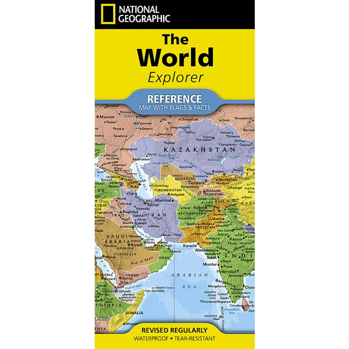
National Geographic World Explorer Map
(folded with flags and facts)
£14.95
In Stock
Usually dispatched within 24 hrs. Free delivery to UK for orders £25 and over
| Cordee Code: | NG0916 |
|---|---|
| Page Size: | 110 x 235 mm |
| No of Pages: | 2 |
| Publisher: | National Geographic Maps |
| ISBN13: | 9781566959988 |
| Published Date: | July 2026 |
| Edition: | 2026 |
| Binding: | Sheet Map (folded) |
| Weight: | 75g |
| Product Type: | Map |
National Geographic's World Explorer with Flags & Facts map is the standard by which all other reference maps are measured. The World Explorer map is meticulously researched and adheres to National Geographic's convention of making independent, apolitical decisions based on extensive research using multiple authoritative sources.
The Explorer style map uses a bright, easy to read color palette featuring blue oceans and stunning shaded relief. Drawn in the Miller projection, the spherical earth is fit to a rectangular page taking advantage of the entire sheet.
Thousands of place names are carefully and artistically placed on the map to maintain legibility even in the heavily populated areas of Europe, Asia and the Middle East. Details include clearly defined international boundaries, cities, physical features, rivers, and ocean floor features.
The 36" x 24" poster size supports easy and affordable framing and mounting, and takes less wall space than standard wall maps.
National facts and flags with each country's area, population, capital city, GDP per capita, and flag
The map is printed in the USA on durable waterproof, tear-resistant synthetic paper to withstand repeated folding.