We use cookies to make your experience better. To comply with the new e-Privacy directive, we need to ask for your consent to set the cookies. Learn more
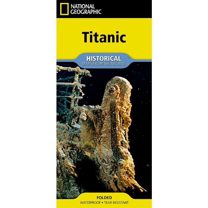
National Geographic Titanic Map
(folded from the Archives)
£14.95
In Stock
Usually dispatched within 24 hrs. Free delivery to UK for orders £25 and over
| Cordee Code: | NG0923 |
|---|---|
| Page Size: | 110 x 235 mm |
| No of Pages: | 2 |
| Publisher: | National Geographic Maps |
| ISBN13: | 9781566959995 |
| Published Date: | July 2026 |
| Edition: | 2026 |
| Binding: | Sheet Map (folded) |
| Weight: | 75g |
| Product Type: | Map |
Step into a pivotal moment in history with this reproduction of National Geographic's "Titanic," originally published on the 100th anniversary of the sinking of the R.M.S. Titanic in 2012. This double-sided, full-color infographic depicts the details of Titanic's route, shipping lanes before and after the disaster, the journey of the fateful iceberg, charts and statistics from post-disaster hearings, inset map of ice and rescue ships, deep-ocean diagrams of the search process, Titanic points of interest, color-coded deck plans and cutaway view, passengers' profiles, ship size comparisons, the story in art and culture, and plans for the wreck's future.
Every Map from the Archive is printed on durable synthetic paper, making them waterproof, tear-resistant and tough capable of withstanding the rigors of repeated folding and unfolding.
Every Map from the Archive is printed on durable synthetic paper, making them waterproof, tear-resistant and tough capable of withstanding the rigors of repeated folding and unfolding.