We use cookies to make your experience better. To comply with the new e-Privacy directive, we need to ask for your consent to set the cookies. Read our privacy and security policy

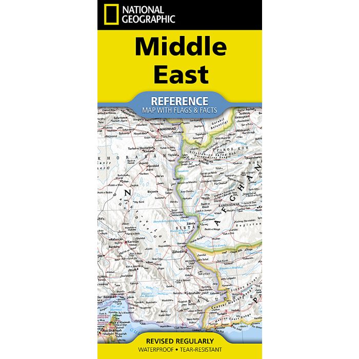
National Geographic Middle East Map
(folded with flags and facts)
£14.95
In Stock
Usually dispatched within 24 hrs. Free delivery to UK for orders £25 and over
| Cordee Code: | NG0920 |
|---|---|
| No of Pages: | 2 |
| Publisher: | National Geographic Maps |
| ISBN13: | 9781426378683 |
| Published Date: | August 2026 |
| Edition: | 2026 |
| Binding: | Sheet Map (folded) |
| Weight: | 50g |
| Product Type: | Map |
- Waterproof -Tear-Resistant - Reference Map with Flags & Facts
Explore the geography, cultures, and historic crossroads of civilization with National Geographic's Middle East Map. Created with the renowned precision and artistry of National Geographic cartographers, this richly detailed map offers an authoritative view of one of the world's most fascinating and influential regions.
Derived from National Geographic's trusted wall map cartography, the map features the signature Classic style with vibrant country borders, crisp typography, shaded physical relief, and deep blue oceans for exceptional readability and visual appeal.
Produced using National Geographic's trusted wall map cartography
Features the signature Classic style with vivid colors and easy-to-read detail
Displays countries, major cities, transportation routes, rivers, deserts, mountain ranges, and regional geography
Includes an overview map of Asia for broader geographic context
Provides country facts and statistics including area, population, capital city, GDP per capita, and national flags
Ideal for reference, education, travel inspiration, or display
The map includes detailed coverage of the Middle East region, highlighting major political boundaries, physical features, and key population centers across Southwest Asia and neighboring areas. The Middle East Map includes the countries of: Afghanistan, Bahrain, Iran , Iraq, Israel, Jordan, Kuwait, Lebanon, Oman , Pakistan, Qatar, Saudi Arabia, Syria, United Arab Emirates, and Yemen.
Beautifully designed and highly informative, the Middle East Wall Map combines accuracy, clarity, and timeless cartographic craftsmanship in a format perfect for classrooms, offices, libraries, and home display.