We use cookies to make your experience better. To comply with the new e-Privacy directive, we need to ask for your consent to set the cookies. Read our privacy and security policy

Nat Geo World Illustrated with Flags and Facts Map
£14.95
In Stock
Usually dispatched within 24 hrs. Free delivery to UK for orders £25 and over
| Cordee Code: | NG0957 |
|---|---|
| Page Size: | 126 x 148 mm |
| No of Pages: | 2 |
| Publisher: | National Geographic Maps |
| ISBN13: | 9781566958820 |
| Published Date: | September 2026 |
| Binding: | Sheet Map (folded) |
| Weight: | 60g |
| Product Type: | Map |
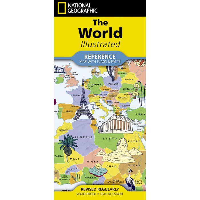
National Geographic's World Illustrated with Flags & Facts brings the world to life with numerous brightly colored line illustrations of wildlife and iconic landmarks across the globe. Vibrant blue oceans and a bold, easy-to-read palette create an inviting look that captures attention and inspires exploration. Drawn in the Miller projection to maximize the full page, this beautifully designed map names only countries, letting the artwork and overall design shine.
Perfect for display, learning, or gifting, World Illustrated offers a captivating way to discover the planet at a glance. Its lively artwork encourages curiosity and invites viewers of all ages to explore the unique character of each region, making it an eye-catching addition to any home, classroom, or office.
This map also features an entire side dedicated to World Facts and Flags. The vital statistics such as area, population, capital city, GDP per capita, and the flag for each country are shown. The combination of a detailed map combined with these country facts will satisfy even the most inquisitive map reader.
The map is printed in the USA on durable waterproof, tear-resistant synthetic paper to withstand repeated folding.
Perfect for display, learning, or gifting, World Illustrated offers a captivating way to discover the planet at a glance. Its lively artwork encourages curiosity and invites viewers of all ages to explore the unique character of each region, making it an eye-catching addition to any home, classroom, or office.
This map also features an entire side dedicated to World Facts and Flags. The vital statistics such as area, population, capital city, GDP per capita, and the flag for each country are shown. The combination of a detailed map combined with these country facts will satisfy even the most inquisitive map reader.
The map is printed in the USA on durable waterproof, tear-resistant synthetic paper to withstand repeated folding.