We use cookies to make your experience better. To comply with the new e-Privacy directive, we need to ask for your consent to set the cookies. Read our privacy and security policy

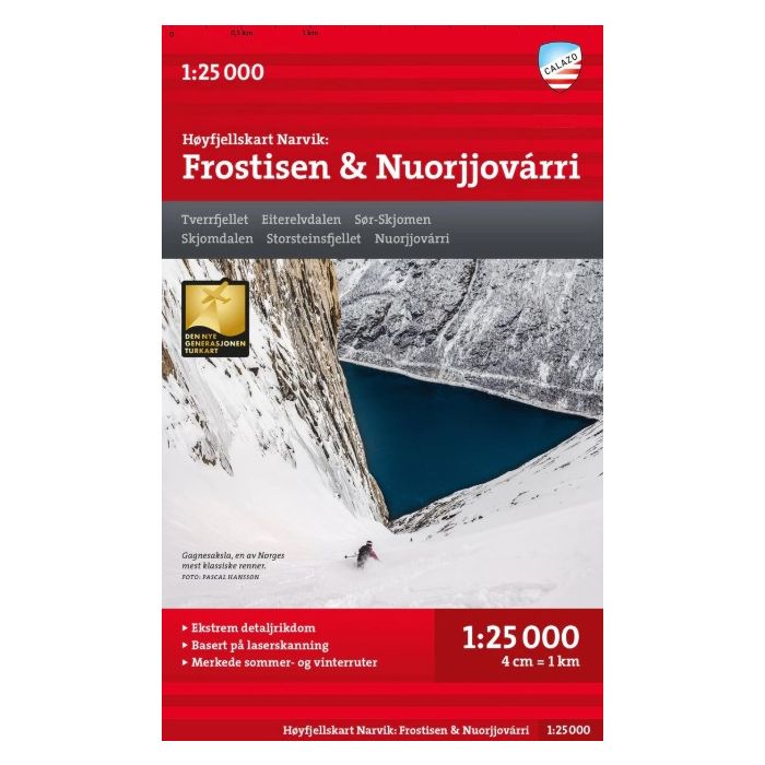
Narvik: Frostisen and Nuorjjovarri 1:25K Hoyfjellskart
Tverrfjellet, Eiterelvdalen, Sor-Skjomen, Skjomdalen
£18.99
In Stock
Usually dispatched within 24 hrs. Free delivery to UK for orders £25 and over
| Cordee Code: | CMV558 |
|---|---|
| Page Size: | 130 x 210 mm |
| No of Pages: | 2 |
| Publisher: | Calazo Forlag Ab |
| ISBN13: | 9789189541542 |
| Binding: | Sheet Map (folded) |
| Weight: | 150g |
| Product Type: | Others |
| Countries: | Norway |
This is one of three unique maps with a level of detail that has never before been shown over the mountain areas around Narvik. The terrain information in the map is based on laser scanning from aircraft. Mountain slopes, streams, glaciers and other natural elements are shown in much more detail with this technique. The map also contains more trails than any previous map of the same area. A map on a scale of 1:25,000 is useful for those planning a summit trip to Nuorjjovarri (1660 meters above sea level) or Frostisen (1724 meters above sea level). The map can also be used by those who want to leave marked trails to explore their own routes in the high mountains.