We use cookies to make your experience better. To comply with the new e-Privacy directive, we need to ask for your consent to set the cookies. Learn more
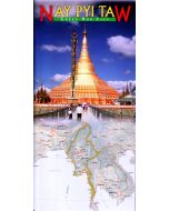
Myanmar featuring Myeik
Illustrated map
£8.95
In Stock
Usually dispatched within 24 hrs. Free delivery to UK for orders £25 and over
This double sided illustrated map shows tourist information, transit routes & historical sites, with superb colour photographs and comprehensive notes with cultural and historical information on key places and people. One side features Myanmar as a whole and the other describes the heritage sites, points of interest and tourist information for Myeik. 1:2,150,000 and 1:625,000 map scales.
| Cordee Code: | CMW720 |
|---|---|
| Page Size: | 245 x 115 mm |
| No of Pages: | 2 |
| Publisher: | Airphoto Int (odyssey Guides) |
| ISBN13: | 9789622178540 |
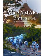
| Author: | Caroline Courtauld |
| Published Date: | February 2016 |
| Edition: | 2016 |
| Binding: | Sheet Map (folded) |
| Illustrations: | Colour maps and photos |
| Weight: | 75g |
| Product Type: | Map |
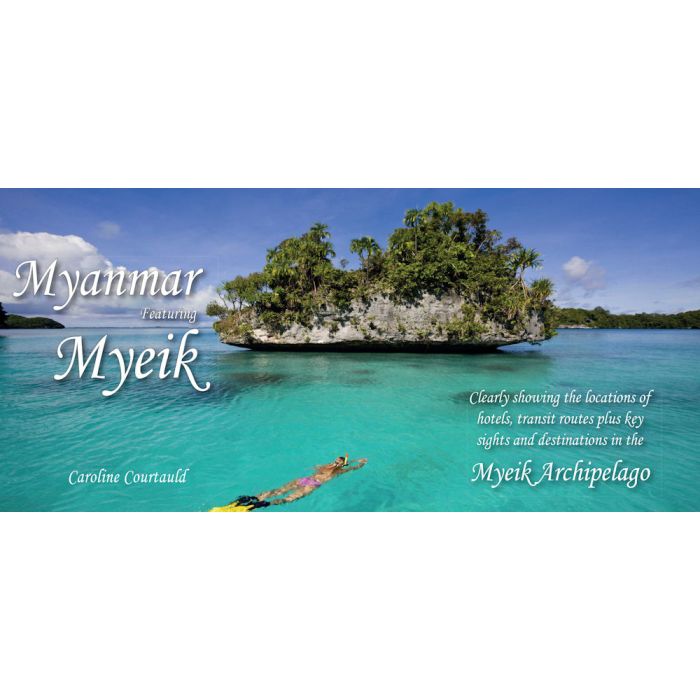
The Myeik archipelago in the south of Myanmar (Burma) is an important tourist destination with exceptional natural beauty.
This double sided illustrated map shows tourist information, transit routes & historical sites, with superb colour photographs and comprehensive notes with cultural and historical information on key places and people. One side features Myanmar as a whole and the other describes the heritage sites, points of interest and tourist information for Myeik. 1:2,150,000 and 1:625,000 map scales.
This double sided illustrated map shows tourist information, transit routes & historical sites, with superb colour photographs and comprehensive notes with cultural and historical information on key places and people. One side features Myanmar as a whole and the other describes the heritage sites, points of interest and tourist information for Myeik. 1:2,150,000 and 1:625,000 map scales.