We use cookies to make your experience better. To comply with the new e-Privacy directive, we need to ask for your consent to set the cookies. Learn more
Mt Parnon map 87
1:50,000
£10.50
In Stock
Usually dispatched within 24 hrs. Free delivery to UK for orders £25 and over
Mt Parnon (Parnonas) in a series of waterproof and tear-resistant hiking maps at scales varying from 1:50,000 to 1:10,000, with a UTM grid for GPS users.
| Cordee Code: | CMG184 |
|---|---|
| Publisher: | Anavasi |
| ISBN13: | 9789609137966 |
| Scale: | 1:50,000 |
| Author: | Anavasi |
| Published Date: | January 2009 |
| Edition: | 2009 |
| Binding: | Sheet Map (folded) |
| Weight: | 80g |
| Product Type: | Map |
| Countries: | Greece |
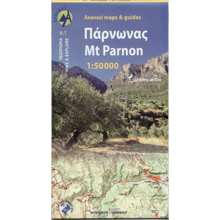
Mt Parnon (Parnonas) in a series of waterproof and tear-resistant hiking maps at scales varying from 1:50,000 to 1:10,000, with a UTM grid for GPS users. Contour interval varies depending on the scale, on most maps it is 20m. Relief shading, spot heights, springs, seasonal streams and, in most titles, landscape/land-use variations, e.g. forests, orchards, or vineyards provide additional information on the terrain. Place names are given in both Greek and Latin script.
Local footpaths, hostels and mountain huts are clearly marked. For road users intermediate driving distances and petrol stations are shown. Symbols highlight places of interest, including archaeological sites, churches and monasteries, etc. The maps have a UTM grid and margin ticks for latitude and longitude. Map legend includes English.
In this title: a double-sided map, extending from Sparta to the eastern coast. Contours are at 10m intervals. The map has a 1km UTM grid and an index of local villages.