We use cookies to make your experience better. To comply with the new e-Privacy directive, we need to ask for your consent to set the cookies. Learn more
Mt Central Pelion 1: 25,000
Inc a large street plan of Volos
£8.99
Temp Out Of Stock
The central part of Pelion at 1:25,000 in an expanding series of maps from the Terrain Maps with information for hiking, biking, rock climbing, canyoning and trail running, printed on light, waterproof and tear-resistant plastic paper.
| Cordee Code: | CMG180 |
|---|---|
| Page Size: | 125 x 250 mm |
| Publisher: | Terrain Cartographic Pc |
| ISBN13: | 9789609456173 |
| Scale: | 1: 25,000 |
| Edition: | 2011 |
| Binding: | Waterproof Map (folded) |
| Weight: | 150g |
| Product Type: | Map |
| Countries: | Greece |
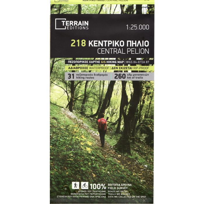
The central part of Pelion at 1:25,000 in an expanding series of maps from the Terrain Maps with information for hiking, biking, rock climbing, canyoning and trail running, printed on light, waterproof and tear-resistant plastic paper.
Maps in this series are contoured and for GPS users have a UTM grid plus latitude and longitude margin ticks. Local road network is presented in detail, differentiating between good and rough dirt roads, and indicates locations of petrol stations. Scenic routes are highlighted. Railway lines are included. All place names are in both Greek and Latin alphabets.
Symbols indicate various places of interest, sites for recreational pursuits, etc. Unless indicated to the contrary in the individual description, all the maps show campsites, mountain refuges and selected other tourist accommodation.
On the reverse are descriptions of recommended hiking routes and biking trails, plus information on other recreational pursuits within the area including canyoning, rock climbing, trail running, etc. For more information please see descriptions of individual titles. Multilingual map legend includes English. The text on the reverse is in Greek and English.
The map covers an area extending from Volos to the other coastline, from Zaghora on the north- east to Neachari in the south-east. Contours are at 20m intervals. In addition to local hiking and mountain bike trails the map indicates climbing crags, plus canyoning and trail running routes. The map has a 2km UTM grid.