We use cookies to make your experience better. To comply with the new e-Privacy directive, we need to ask for your consent to set the cookies. Learn more
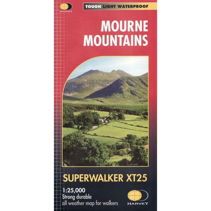
Mourne Mountains Superwalker XT25
£15.50
In Stock
Usually dispatched within 24 hrs. Free delivery to UK for orders £25 and over
| Cordee Code: | CMH295 |
|---|---|
| Page Size: | 140 x 250 mm |
| No of Pages: | 1 |
| Publisher: | Harvey Maps |
| ISBN13: | 9781851376124 |
| Scale: | 1: 25 000 |
| Author: | Harvey maps |
| Published Date: | April 2018 |
| Edition: | April 2018 |
| Binding: | Waterproof Map (folded) |
| Illustrations: | Colour mapping |
| Weight: | 50g |
| Product Type: | Map |
| Countries: | Ireland |
Detailed map for hillwalkers of the Mountains of Mourne at 1:25,000 scale. The Mournes, a granite mountain range in County Down, includes the highest mountains in Northern Ireland. The highest is Slieve Donard at 850 metres.
The Mournes is an Area of Outstanding Natural Beauty and has been proposed as the first national park in Northern Ireland. The area is partly owned by the National Trust and sees a large number of visitors every year.
The Mourne Wall is among the more famous features in the Mournes. It is a 35km (22mls) drystone wall that crosses fifteen summits, constructed in 1904 and completed in 1922 to define the boundaries of land purchased by the Belfast Water Commissioners in the late 1800s.
Includes The Mourne Way Long Distance Footpath.
Tough, light, durable and 100% waterproof
Genuine, original, HARVEY mapping
Opens directly to either side of the sheet
Easy to re-fold
Technical specification;
Scale: 1:25,000
Ratio: 8cm = 1km
Flat size: 696 x 486mm
Folded size: 116 x 243mm
Weight: 33gms
Area of mapping: 353sqkm
Double sided