We use cookies to make your experience better. To comply with the new e-Privacy directive, we need to ask for your consent to set the cookies. Learn more
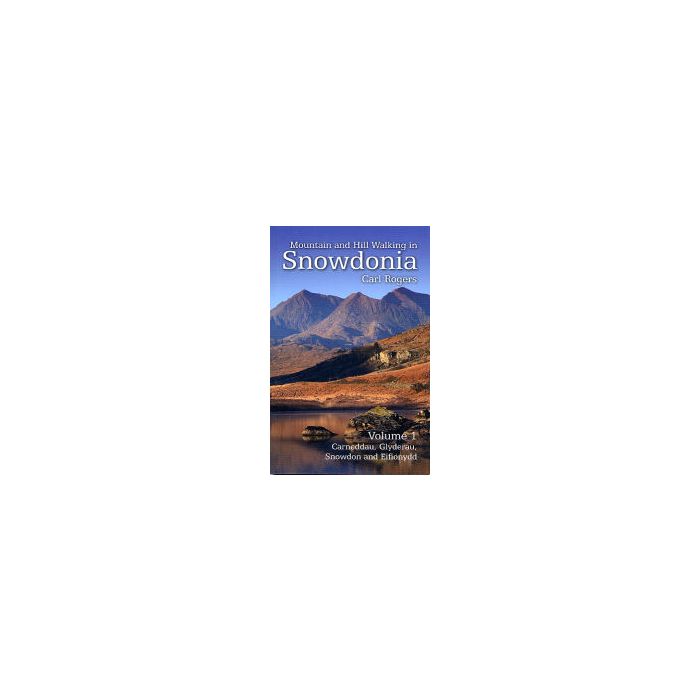
Mountain and Hill Walking in Snowdonia Vol 1
Carneddau, Glyderau, Snowdon and Eifionydd
£14.99
In Stock
Usually dispatched within 24 hrs. Free delivery to UK for orders £25 and over
| Cordee Code: | CWW264 |
|---|---|
| Page Size: | 115 x 180 mm |
| No of Pages: | 160 |
| Publisher: | Mara Books |
| ISBN13: | 9781902512181 |
| Author: | Carl Rogers |
| Language: | English |
| Published Date: | August 2016 |
| Edition: | revised Aug 2016 |
| Binding: | Paperback (flapped) |
| Illustrations: | colour photos and maps |
| Weight: | 280g |
| Product Type: | Guide Books |
| Countries: | United Kingdom |
Fully revised in 2016, this is an updated edition of the best selling guide to walking and scrambling in the hills and mountains of Snowdonia.
This is volume 1 in a two-volume in-depth guidebook series to every summit of note in the Snowdonia National Park. Volume 1 covers the northern half of Snowdonia and includes the Carneddau, Glyderau, Snowdon and Eifionydd hill groups. Routes include classic scrambles like the Snowdon Horseshoe, North Ridge of Tryfan and Glyder Fach's Bristly Ridge, but there are also less well known mountain day walks like the exploration of the northern Glyderau from Ogwen (one of the new routes in this edition).
Each recommended route is described in detail and is accompanied by a large scale Ordnance Survey relief map and an outline of what to expect. All the routes are circular and include information on parking, distance and height gained.