We use cookies to make your experience better. To comply with the new e-Privacy directive, we need to ask for your consent to set the cookies. Learn more
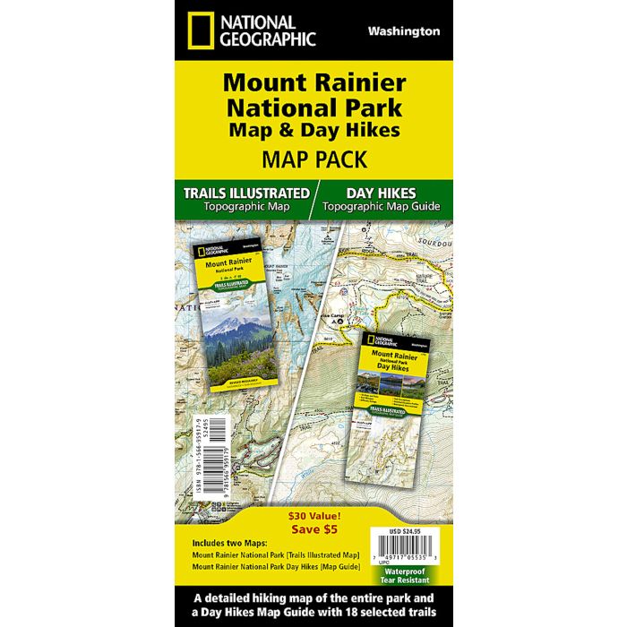
Mount Rainier National Park Map and Day Hikes
Map Pack
£24.95
In Stock
Usually dispatched within 24 hrs. Free delivery to UK for orders £25 and over
| Cordee Code: | NG0866 |
|---|---|
| Page Size: | 110 x 230 mm |
| Publisher: | National Geographic Maps |
| ISBN13: | 9781566959179 |
| Published Date: | April 2024 |
| Edition: | 1st ed, April 2024 |
| Binding: | Map And Guide |
| Illustrations: | Map and day hikes guide in same pack |
| Weight: | 200g |
| Product Type: | Map |
Waterproof Tear-Resistant Topographic Maps.
The highest point in the Cascade Range, Mount Rainier is an icon of Washington state. It is an active volcano and the largest single-peak glacial system in the lower forty-eight states, spawning 6 major rivers. This two title Map Pack Bundle helps explorers of all levels see everything this astounding park has to offer. The map pack includes an overview map that shows the entire park as well as a Day Hikes map guide. With this combination of maps visitors can feel comfortable planning a trip to a park with options for everyone, from multi-day backpack trips to the 2.7 mile Silver Falls Loop.
The Mount Rainier National Park Day Hikes Topographic Map Guide includes eighteen diverse hikes for all hiking enthusiasts, the hikes range in difficulty and distance to help hikers select the best trail for their timing, abilities, and location within the parks. Each hike has a detailed map, a trail profile visualizing the changes in elevation, and a short summary of the interesting features encountered along the trip.
The Mount Rainier Day Hikes and National Park Map Pack includes:
Map 217 :: Mount Rainier National Parks
Map 1715 :: Mount Rainier Day Hikes
Every Trails Illustrated map is printed on "Backcountry Tough" waterproof, tear-resistant paper. A full UTM grid is printed on the map to aid with GPS navigation.