We use cookies to make your experience better. To comply with the new e-Privacy directive, we need to ask for your consent to set the cookies. Learn more
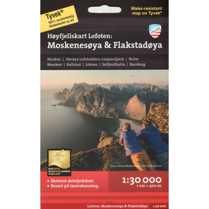
Moskenesoya and Flakstadoya Lofoten
1:30,000 map
£18.99
In Stock
Usually dispatched within 24 hrs. Free delivery to UK for orders £25 and over
| Cordee Code: | CMV306 |
|---|---|
| Page Size: | 130 x 210 mm |
| No of Pages: | 2 |
| Publisher: | Calazo Forlag Ab |
| ISBN13: | 9789188779847 |
| Published Date: | April 2019 |
| Edition: | 1st ed, 2019 |
| Binding: | Sheet Map (folded) |
| Weight: | 60g |
| Product Type: | Map |
| Countries: | Norway |
This is one of three unique maps with a wealth of detail that has never before been shown over Lofoten. The terrain information in the map is based on laser scanning from aircraft. For the first time, mountain slopes, larger rocks, streams and glaciers appear with an accuracy that corresponds to reality.
A map on a scale of 1:30,000 provides solid information and is a great help for those who go on summit tours, fish, climb or like to leave the marked paths in the valley floor and find their own way up into the high mountains. It is made of the material Tyvek, which is water-resistant, tear-resistant and lightweight.
By purchasing this map, you are helping to secure the future of DNT's trails and cabins. Calazo donates NOK 10 per map sold to DNT's cabin and road works.