We use cookies to make your experience better. To comply with the new e-Privacy directive, we need to ask for your consent to set the cookies. Learn more
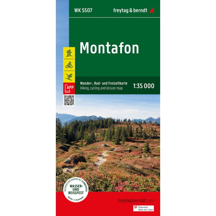
Montafon Hiking, Cycling and leisure Map
WK 5507
£12.90
In Stock
Usually dispatched within 24 hrs. Free delivery to UK for orders £25 and over
| Cordee Code: | FB1631 |
|---|---|
| Page Size: | 100 x 205 mm |
| Publisher: | Freytag & Berndt |
| ISBN13: | 9783707923414 |
| Scale: | 1:35 000 |
| Published Date: | June 2024 |
| Edition: | 2024 |
| Binding: | Sheet Map (folded) |
| Weight: | 120g |
| Product Type: | Map |
| Countries: | Austria |
Thanks to the detailed digital cartography and the precise scales, freytag & berndt hiking maps are ideal companions for hiking, mountaineering and ski tours. The Montafon hiking map is revised regularly and contains updated information on hiking trails, cycle and mountain bike trails, huts, natural monuments, cultural sights and leisure facilities. Region: Montafon, Vorarlberg Special themed hiking trails: Central Alpine Trail, Via Alpina, Way of St. James, around the L?nersee, Golmi's Research Trail, St. Gallenkircher Verwall Circuit; Environment maps: WK 254, WK 351, WK 364, WK 374, WK 375, WK 5374, WK 5504;