We use cookies to make your experience better. To comply with the new e-Privacy directive, we need to ask for your consent to set the cookies. Learn more
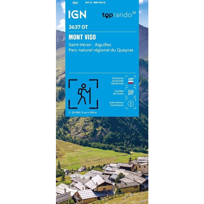
Mont Viso 3637 OT
St Veran - Aiguelles map
£15.80
Temp Out Of Stock
The essential IGN 3637OT hiking map.
| Cordee Code: | CMF765 |
|---|---|
| Page Size: | 110 x 240 mm |
| Publisher: | Ign Top 25 Maps |
| ISBN13: | 9782758559511 |
| Scale: | 1:25,000 |
| Published Date: | January 2026 |
| Edition: | 6th ed, Jan 2026 |
| Binding: | Sheet Map (folded) |
| Weight: | 80g |
| Product Type: | Map |
| Countries: | France |
Highly detailed, it contains all the existing features on the ground: roads down to the smallest path, buildings down to the smallest shed, woods, individual trees, rivers, springs... It also includes contour lines to represent the terrain. Marked trails and tourist information are also shown. Municipalities covered: Abries-Ristolas, Aiguilles, Saint-Veran, Molines-en-Massif du Queyras. Places to discover: Queyras Massif, Bois de l'Aleve, Col Agnel, Tete de Girardin, Pain de Sucre, Cima delle Lobbie, Monte Viso, Punta Caprera, Passo San Chiaffredo, Bric Froid, Monte Manzol, Colle Baracun, Monte Ruine, Pointe Gastaldi, Monte Reisasso, Bric de Rubren, P?ouvou, Monte Ferra.