We use cookies to make your experience better. To comply with the new e-Privacy directive, we need to ask for your consent to set the cookies. Learn more
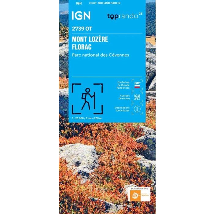
Mont Lozere Florac 2739 OT 1:25,000
Parc National des Cevennes
£15.80
In Stock
Usually dispatched within 24 hrs. Free delivery to UK for orders £25 and over
The essential IGN 2739OT hiking map.
| Cordee Code: | CMF769 |
|---|---|
| Page Size: | 110 x 240 mm |
| Publisher: | Ign Top 25 Maps |
| ISBN13: | 9782758558750 |
| Scale: | 1:25,000 |
| Published Date: | January 2026 |
| Edition: | 5th Ed, Jan 2026 |
| Binding: | Sheet Map (folded) |
| Weight: | 80g |
| Product Type: | Map |
| Countries: | France |
Extremely precise, it contains every detail found on the ground: roads down to the smallest footpath, buildings down to the smallest shed, woods, individual trees, rivers, springs... It also includes contour lines to represent the terrain. Marked trails and tourist information are also shown. Municipalities covered: Mont-Lozere, Florac, Cevennes National Park, Pourcharesses, Chadenet, Bedoues-Cocures, Genolhac, Concoules, Vialas, Lanuejols, Pont de Montvert - South Mont Lozere, Cubieres, Mont Lozere and Goulet, Les Bondons, Cubierettes, Saint-Andre-Capceze, Altier, Saint-Etienne-du-Valdonnez. Places to discover: Malmontet State Forest, Mont Lozere State Forest, Bouges State Forest, Bouges Mountain, Chassezac Gorges, Le Bounzac, Signal des Laubies, Col de Finiels, Summit of Finiels, Pic Cassini, Bouges Mountain, Serre des Countrats, Boug?s Mountain, Causse du Masseguin, Refuge de l'Aigle, Source of the Tarn, Chateau du Champ, Ecomusee du Mont Lozere, Runes Waterfall, Bouzedes Viewpoint, Villefort Dam, Chassezac Viewpoint.