We use cookies to make your experience better. To comply with the new e-Privacy directive, we need to ask for your consent to set the cookies. Learn more
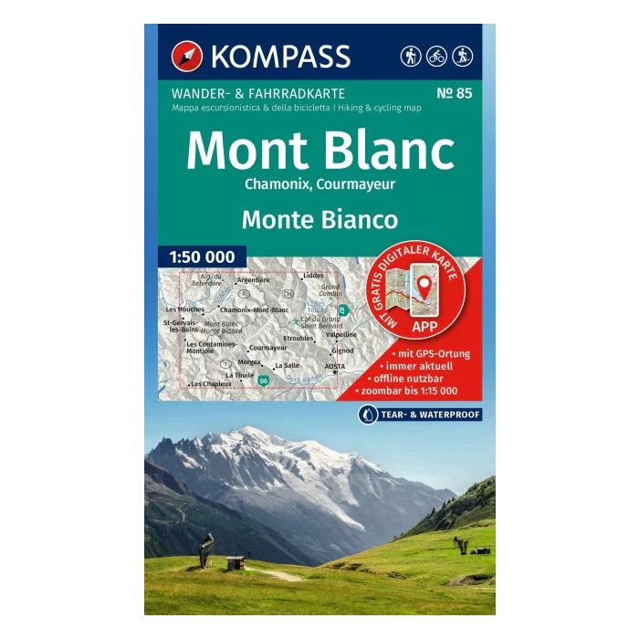
Mont Blanc WK 85
£15.95
In Stock
Usually dispatched within 24 hrs. Free delivery to UK for orders £25 and over
| Cordee Code: | KP0085 |
|---|---|
| Publisher: | Kompass Maps |
| ISBN13: | 9783991543749 |
| Binding: | Sheet Map (folded) |
| Weight: | 200g |
| Product Type: | Map |
Hiking Map Mont Blanc / Monte Bianco: The map for hiking, cycling, and many other outdoor activities.
Kompass hiking maps are easy to read yet contain all the information you need for a perfect hike, bike ride, or day trip. They depict the landscape at the appropriate scale. Countless additional details are continuously reviewed and expanded by the cartography team. The precise cartography includes all official hiking trails with names and trail numbers (such as long-distance trails), cycling routes (including trails), via ferratas, inns and mountain huts, parking areas, bus and train connections, ski touring routes and cross-country ski tracks, springs, swimming spots, and much more. This makes the map ideal for discovering new destinations, planning tours, and navigating on the go. An intuitive map image of the landscape is created by the depicted vegetation, contour lines, rock formations, and the shading (shadowing) of the mountains.
Features of the Mont Blanc / Monte Bianco hiking map:
- Scale 1:50,000: 1 cm on the main map corresponds to 500 m in reality
- Thanks to the tear-resistant and weatherproof paper, the map survives all weather conditions
- Map section can also be used offline in the Kompass hiking map app
- More zoom levels: in the KOMPASS hiking map app
About the region: Mont Blanc / Monte Bianco: Mont Blanc, Europe's highest peak, dominates a region full of glaciers, alpine pastures and challenging trails that attract mountaineers and hikers from all over the world.