We use cookies to make your experience better. To comply with the new e-Privacy directive, we need to ask for your consent to set the cookies. Read our privacy and security policy

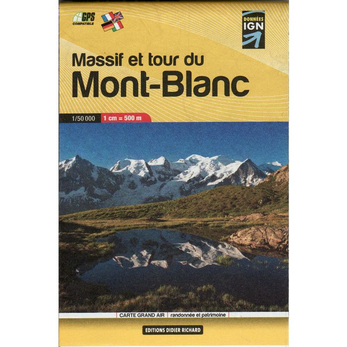
Mont Blanc, Tour and Massif Pocket Map 1:50,000
£7.99
In Stock
Usually dispatched within 24 hrs. Free delivery to UK for orders £25 and over
| Cordee Code: | CME238 |
|---|---|
| Page Size: | 75 x 114 mm |
| Publisher: | Editions Glenat |
| ISBN13: | 9782723489287 |
| Scale: | 1:50,000 |
| Author: | Libris |
| Language: | English |
| Peak: | Mont Blanc |
| Published Date: | March 2006 |
| Edition: | 13/06/2012 |
| Binding: | Sheet Map (folded) |
| Illustrations: | colour |
| Weight: | 40g |
| Geoarea: | Alps Western (france, Switzerland, And Italy) |
| Product Type: | Map |
| Countries: | Switzerland |
* pocket map
This is first in a new series of mini pocket maps. It covers the Mont Blanc region at a large scale 1:50 000 and includes contours at 50m intervals, hiking trails and main paths, huts and refuges, as well as useful tourist information. Each map weighs only 32 grams
This is first in a new series of mini pocket maps. It covers the Mont Blanc region at a large scale 1:50 000 and includes contours at 50m intervals, hiking trails and main paths, huts and refuges, as well as useful tourist information. Each map weighs only 32 grams
-
 Mont Blanc Annecy 02 160000Aiguilles Rouges, Beaufortain, Val d A'rly, Aravis, Bargy...£13.99
CMR036
Temp Out Of StockOut of stock