We use cookies to make your experience better. To comply with the new e-Privacy directive, we need to ask for your consent to set the cookies. Learn more
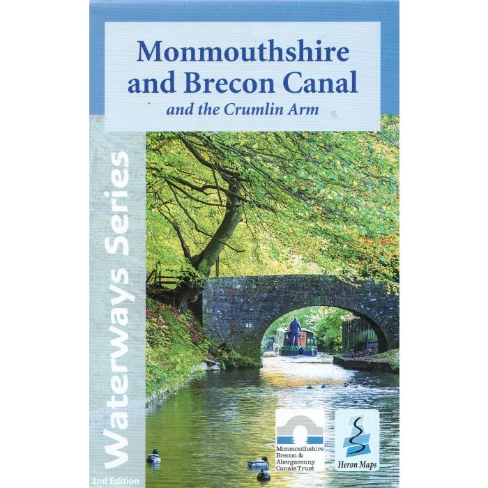
Monmouthshire and Brecon Canal
and Crumlin Arm
£5.99
In Stock
Usually dispatched within 24 hrs. Free delivery to UK for orders £25 and over
| Cordee Code: | CTK751 |
|---|---|
| Page Size: | 140 x 220 mm |
| No of Pages: | 1 |
| Publisher: | Heron Maps Consignment |
| ISBN13: | 9781908851284 |
| Published Date: | November 2021 |
| Edition: | 2nd ed, 2021 |
| Binding: | Sheet Map (folded) |
| Illustrations: | Colour mapping |
| Weight: | 40g |
| Product Type: | Map |
This map gives detailed coverage of the Monmouthshire and Brecon Canal with emphasis on the waterways and information useful and relevant to users of the waterways without neglecting other leisure users. The map detail is complimented by information panels and photographs.
This tourist map of the Monmouthshire and Brecon Canal and Crumlin Arm at 1:45,000, has detailed town plans of Brecon, Talybont-on-Usk and Gilwern at 1:12,500.
The map includes navigation and historical information, visitor moorings, marinas and boatyards, boat hire centres, facilities for the boat user, shops, post offices and distance markers. Information for the tourist includes tourist information centres, places of interest, bicycle hire, canoe hire points, pubs, nature reserves, parks, churches, long distance paths, public toilets, hostels and caravan and camp sites.