We use cookies to make your experience better. To comply with the new e-Privacy directive, we need to ask for your consent to set the cookies. Learn more
Mission Range Outdoor Recreation Map
£17.99
Temp Out Of Stock
| Cordee Code: | CMA599 |
|---|---|
| Page Size: | 100 x 210 mm |
| No of Pages: | 1 |
| Publisher: | Cairn Cartographics |
| ISBN13: | 9780999033449 |
| Published Date: | June 2021 |
| Edition: | 2021 |
| Binding: | Sheet Map (folded) |
| Product Type: | Map |
| Countries: | United States of America |
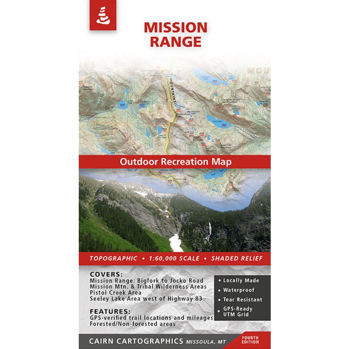
This map covers the Mission Mountain Range from the Jocko Road on the south to Bigfork on the north. During the summer and fall of 2012, we GPSed virtually all of the trails on the map to make the trail locations and mileages as accurate as possible. We hope you'll find these additions useful on your next trip into the Missions. Fourth Edition, printed in Winter 2024.
Covers:
Mission Range from Bigfork to the Jocko Road
Entire Mission Mountain Wilderness and Tribal Wilderness
Pistol Creek Area
Seeley Lake Area west of Highway 83
Features:
Waterproof, tear-resistant plastic
Topographic / shaded relief
Forested and non-forested areas
GPS verified trail locations and mileages
UTM and Lat/Long grids
1:60,000 scale
Contour interval: 100 feet