We use cookies to make your experience better. To comply with the new e-Privacy directive, we need to ask for your consent to set the cookies. Read our privacy and security policy

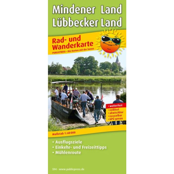
Mindener land Lubbecker Land 1: 60 000
Bike and Walking Map
£8.90
In Stock
Usually dispatched within 24 hrs. Free delivery to UK for orders £25 and over
| Cordee Code: | FB1209 |
|---|---|
| Page Size: | 90 x 200 mm |
| Publisher: | Freytag & Berndt |
| ISBN13: | 9783899205947 |
| Scale: | 1:60 000 |
| Published Date: | May 2017 |
| Binding: | Sheet Map (folded) |
| Weight: | 75g |
| Product Type: | Map |
| Countries: | Germany |
The Mindener Land - Lubbecker Land cycling and hiking map is a helpful companion if you want to explore this region by bike or on foot.
Numerous themed cycle paths are marked in the map section, which run between Rhaden and Bad Oeynhausen, Preussisch Oldendorf and Buckeburg through the flat, z. T. also lead hilly landscape.
The Westphalian mill route, also mentioned in the title of the map and highlighted in the map, deserves a special mention. It leads past 40 mills on streets with little traffic. Hikers can also plan individual tours along the Weser and through the Wiehengebirge with the help of the marked themed hiking trails.
In addition to a city map of Minden, the back of the Mindener Land - Lubbecker Land cycling and hiking map offers a lot of useful information about the places in the region.
Numerous themed cycle paths are marked in the map section, which run between Rhaden and Bad Oeynhausen, Preussisch Oldendorf and Buckeburg through the flat, z. T. also lead hilly landscape.
The Westphalian mill route, also mentioned in the title of the map and highlighted in the map, deserves a special mention. It leads past 40 mills on streets with little traffic. Hikers can also plan individual tours along the Weser and through the Wiehengebirge with the help of the marked themed hiking trails.
In addition to a city map of Minden, the back of the Mindener Land - Lubbecker Land cycling and hiking map offers a lot of useful information about the places in the region.