We use cookies to make your experience better. To comply with the new e-Privacy directive, we need to ask for your consent to set the cookies. Read our privacy and security policy

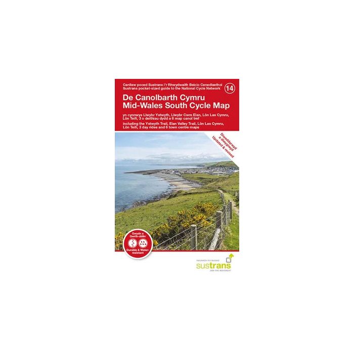
Mid Wales South Cycle Map 14
incl Ystwyth Trail, Elan Valley Trail, Lon Las Cymru...
£8.70
In Stock
Usually dispatched within 24 hrs. Free delivery to UK for orders £25 and over
| Cordee Code: | CCY448 |
|---|---|
| Page Size: | 100 x 160 mm |
| No of Pages: | 2 |
| Publisher: | Walk Wheel Cycle Trust |
| ISBN13: | 9781914410123 |
| Scale: | 1:110 000 |
| Published Date: | August 2026 |
| Edition: | Aug 21 |
| Binding: | Sheet Map (folded) |
| Illustrations: | Full colour |
| Weight: | 50g |
| Product Type: | Map |
Sustrans' Mid Wales South cycle map shows the National Cycle Network and local routes in this area. It covers the southern area of the Mid Wales region of Wales, Builth Wells, Brecon, Rhayader and Carmarthen.
The National Cycle Network and cycle tracks in Mid Wales
The sparsely populated areas of mid-Wales provide an ideal location for an adventure if you want to get away from the crowds. The coastal areas that surround Cardigan Bay offer great views out to sea, whilst the counties of Ceredigion and Powys afford some challenging gradients as well as a selection of wonderful traffic-free paths.
This pocket-sized colour map shows clearly mapped on-road and traffic-free paths, easy to read contours, and detailed inset maps for the major towns and cities as well as recommended linking routes connecting the NCN with quiet roads. The map also features 3 day rides with directions and a description of the area.
The National Cycle Network and cycle tracks in Mid Wales
The sparsely populated areas of mid-Wales provide an ideal location for an adventure if you want to get away from the crowds. The coastal areas that surround Cardigan Bay offer great views out to sea, whilst the counties of Ceredigion and Powys afford some challenging gradients as well as a selection of wonderful traffic-free paths.
This pocket-sized colour map shows clearly mapped on-road and traffic-free paths, easy to read contours, and detailed inset maps for the major towns and cities as well as recommended linking routes connecting the NCN with quiet roads. The map also features 3 day rides with directions and a description of the area.