We use cookies to make your experience better. To comply with the new e-Privacy directive, we need to ask for your consent to set the cookies. Learn more
Mexico Classic Map Tubed
Reference Maps
£16.95
In Stock
Usually dispatched within 24 hrs. Free delivery to UK for orders £25 and over
| Cordee Code: | NG0696 |
|---|---|
| Page Size: | 860 x 560 mm |
| No of Pages: | 1 |
| Publisher: | National Geographic Maps |
| ISBN13: | 9780792249795 |
| Weight: | 350g |
| Product Type: | Others |
Dimensions: H57cm x W88cm
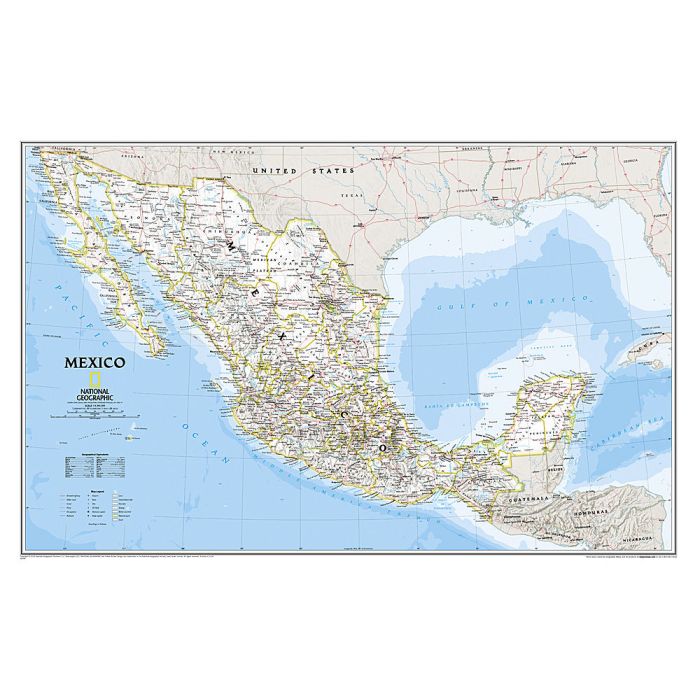
National Geographic's wall map of Mexico is one of the largest and most detailed maps of the country. The signature Classic style design uses a bright, easy-to-read color palette. This map features thousands of place names, accurate political boundaries, national parks including Cumbres de Monterrey National Park, biosphere reserves including El Vizcaino Biosphere Reserve, archeological sites including the ruins of the Yucatan Peninsula, and major infrastructure networks such as roads, canals, ferry routes, and railroads. Mexico's diverse terrain is detailed through accurate shaded relief, coastal bathymetry, and symbolism for water features and other land forms. Elevations of major peaks are expressed in both feet and meters, and depth soundings are expressed in fathoms.
The map is packaged in a two inch diameter tube with a label showing a thumbnail of the map with dimensions and other pertinent information.