We use cookies to make your experience better. To comply with the new e-Privacy directive, we need to ask for your consent to set the cookies. Learn more
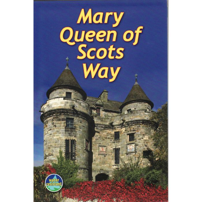
Mary Queen of Scots Way
£10.99
Temp Out Of Stock
The Mary Queen of Scots Way stretches across central Scotland from coast to coast, linking many places associated with Mary Queen of Scots. It runs for 107 miles (172 km) from Arrochar on Loch Long in the west to St Andrews on the Fife coast, and links with the Cowal Way, the West Highland Way, the Rob Roy Way and the Fife Coastal Path.
| Cordee Code: | CWN403 |
|---|---|
| Page Size: | 145 x 210 mm |
| No of Pages: | 64 |
| Publisher: | Rucksack Readers |
| ISBN13: | 9781898481485 |
| Author: | Jacquetta Megarry + Sandra Bardwell |
| Published Date: | July 2010 |
| Edition: | 1st, Apr 2012 |
| Binding: | Spiral/wirobound |
| Illustrations: | 60+photos |
| Weight: | 200g |
| Product Type: | Guide Books |
| Countries: | Scotland |
The Mary Queen of Scots Way stretches across central Scotland from coast to coast, linking many places associated with Mary Queen of Scots. It runs for 107 miles (172 km) from Arrochar on Loch Long in the west to St Andrews on the Fife coast, and links with the Cowal Way, the West Highland Way, the Rob Roy Way and the Fife Coastal Path.
The Way goes through richly varied scenery, starting from a rugged sea loch, crossing Loch Lomond and traversing its National Park to the hills of central Scotland, ending on a sandy beach on the Fife coast. It passes mountains, lochs and waterfalls; castles, hill forts and aqueducts; and is broken into manageable sections which end at welcoming villages and small towns with friendly pubs and B&Bs.
The Mary Queen of Scots Way goes beside and through the Arrochar Alps and hills of Loch Lomond, past the Menteith hills, along the length of the Ochils to the Lomonds of Fife. The Way goes above 1000 ft (300 m) several times, reaching its highest point at Cadger's Yett, north of Glendevon, some 1425 ft (435m) above sea level.