We use cookies to make your experience better. To comply with the new e-Privacy directive, we need to ask for your consent to set the cookies. Learn more
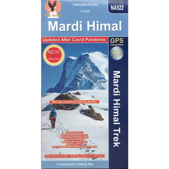
Mardi Himal Trek NA522
1:50,000 trekking map
£13.99
In Stock
Usually dispatched within 24 hrs. Free delivery to UK for orders £25 and over
| Cordee Code: | CMW782 |
|---|---|
| Page Size: | 125 x 245 mm |
| Publisher: | Nepa Publications |
| ISBN13: | 9789937783095 |
| Author: | Nepa Maps |
| Published Date: | March 2023 |
| Edition: | March 2023 |
| Binding: | Sheet Map (folded) |
| Weight: | 80g |
| Product Type: | Map |
| Countries: | Nepal |
The region between Pohkara and the Annapurna range on a contoured and GPS compatible map at 1:50,000 with trekking routes to the Mardi Himal South and West Base Camps, as well as routes to Machhapuchhre (Fish Tail), Singu Chuli (Fluted Peak) and the South Annapurna Base Camp. The map also shows climbing routes from the Mardi Himal South Base Camp to the peak, and from the South Annapurna Base Camp and the Machhapuchhre Base Camp to the peaks of Tharpu Chuli (Tent Peak) and Singu Chuli.
The map has contours at 40m intervals, enhanced by relief shading and colouring/graphics to show glaciers, forested areas, cultivated land, etc. Main trekking trails are highlighted, as are important settlements and locations with tourist accommodation including campsites, medical facilities, religious sites, etc. Latitude and longitude are shown by margin ticks at 2'30" intervals. The index lists places, base camps, peaks, and lakes. Map legend includes English.
The map has contours at 40m intervals, enhanced by relief shading and colouring/graphics to show glaciers, forested areas, cultivated land, etc. Main trekking trails are highlighted, as are important settlements and locations with tourist accommodation including campsites, medical facilities, religious sites, etc. Latitude and longitude are shown by margin ticks at 2'30" intervals. The index lists places, base camps, peaks, and lakes. Map legend includes English.
-
 Trekking the Annapurna CircuitNATT-Trails (New Annapurna Trekking Trails)£17.99
CWA342
Temp Out Of StockOut of stock