We use cookies to make your experience better. To comply with the new e-Privacy directive, we need to ask for your consent to set the cookies. Read our privacy and security policy

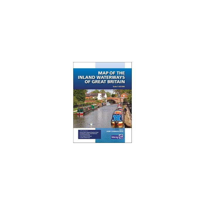
Map of the Inland Waterways of Great Britain
£10.95
In Stock
Usually dispatched within 24 hrs. Free delivery to UK for orders £25 and over
| Cordee Code: | IM0081 |
|---|---|
| Page Size: | 191 x 261 mm |
| No of Pages: | 2 |
| Publisher: | Fb Imray Laurie Norie And Wilson |
| ISBN13: | 9781846238277 |
| Binding: | Sheet Map (folded) |
| Weight: | 160g |
| Product Type: | Map |
| Countries: | United Kingdom |
First published over 60 years ago when interest in reviving Britain's network of navigable and rivers was starting to gather pace, this map provides the best coverage of the system in England, Wales and Scotland. Distances, the number of locks and restricting dimensions are given for each waterway. The simple cartography defines rivers, broad and narrow canals against generalized relief and the major road network. The 2016 edition has been updated to show progress in restoration schemes and other changes.