We use cookies to make your experience better. To comply with the new e-Privacy directive, we need to ask for your consent to set the cookies. Learn more
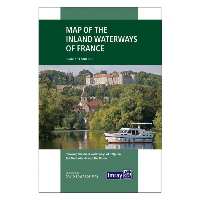
Map of the Inland Waterways of France
£12.95
Temp Out Of Stock
| Cordee Code: | IYI001 |
|---|---|
| Page Size: | 200 x 300 mm |
| Publisher: | Imray Laurie Norie &wilson Ltd |
| ISBN13: | 9781786790644 |
| Language: | English |
| Published Date: | January 2019 |
| Edition: | January 2019 |
| Binding: | Sheet Map (folded) |
| Weight: | 80g |
| Product Type: | Guide Books |
| Countries: | France |
First published in the 1950s under the editorship of EE Benest and later Konrad Nussbaum, the Imray map of the French inland waterway system has always been regarded as the essential reference for planning a visit to France by boat. It is now superseded by this completely recompiled and redrawn edition by David Edwards-May, the leading authority on World canals and waterways.
The new cartography includes improved detail and presents essential information concerning distances and dimensions with a greater clarity than on previous editions. The map continues to cover the Low Countries and the western part of Germany and now also includes large scale insets of the Paris region and northeast France. The scale remains at 1:1 500 000
The new cartography includes improved detail and presents essential information concerning distances and dimensions with a greater clarity than on previous editions. The map continues to cover the Low Countries and the western part of Germany and now also includes large scale insets of the Paris region and northeast France. The scale remains at 1:1 500 000