We use cookies to make your experience better. To comply with the new e-Privacy directive, we need to ask for your consent to set the cookies. Learn more
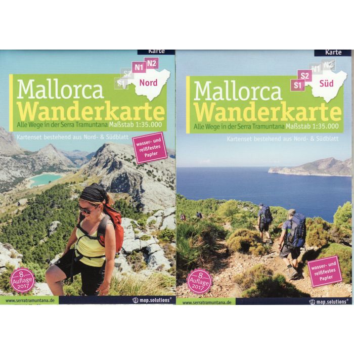
Mallorca Serra Tramuntana hiking map 135000
8th Edition 2017
£17.99
In Stock
Usually dispatched within 24 hrs. Free delivery to UK for orders £25 and over
Topographic maps of the Serra de Tramuntana, each map sheet with front and back. This 2012 edition covers the whole of the Tramuntana Mountain, the old edition just covered the central ridge. The GR221 is now shown from start to finish and is speically highlighted.
| Cordee Code: | CMW484 |
|---|---|
| Page Size: | 105 x 175 mm |
| Publisher: | Map Solutions Gmbh |
| ISBN13: | 9783935806190 |
| Scale: | 1:35,000 |
| Author: | map.solutions |
| Language: | English |
| Published Date: | June 2017 |
| Edition: | 8th 2017 |
| Binding: | Waterproof Map (folded) |
| Weight: | 50g |
| Product Type: | Map |
| Countries: | Spain |
Topographic maps of the Serra de Tramuntana, each map sheet with front and back. This 2012 edition covers the whole of the Tramuntana Mountain, the old edition just covered the central ridge. The GR221 is now shown from start to finish and is speically highlighted.
Detailed trail system with all the official and feasible paths in the Tramuntana Mountains, with accurate depiction of terrain, shading, drawn obstacles such as gates, fences and walls, monuments, mountain huts and inns.
There is a full English key sheet as well. The new editon is also printed on waterproof paper.