We use cookies to make your experience better. To comply with the new e-Privacy directive, we need to ask for your consent to set the cookies. Learn more
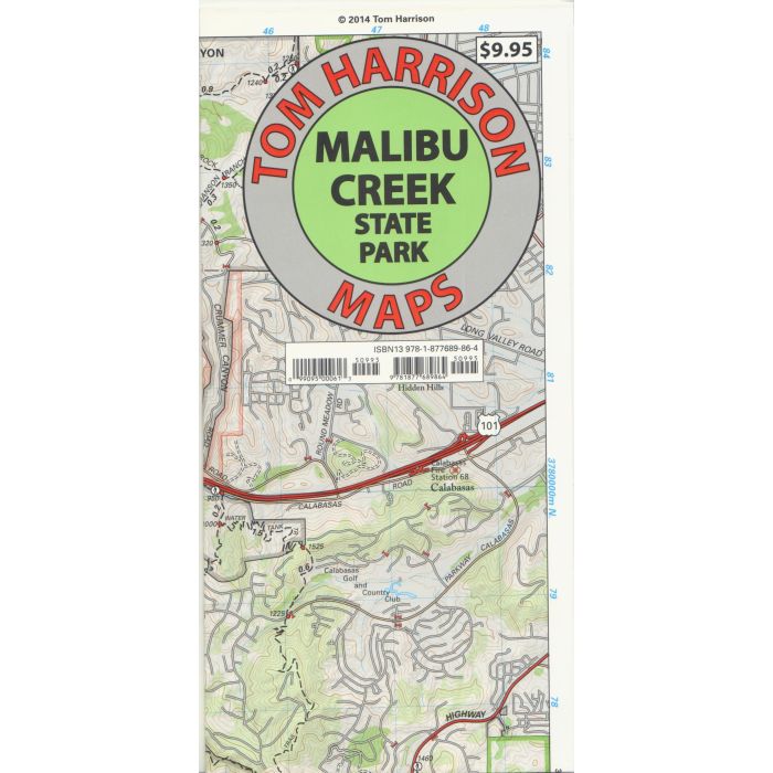
Malibu Creek State Park trail map
£10.99
In Stock
Usually dispatched within 24 hrs. Free delivery to UK for orders £25 and over
| Cordee Code: | CMA581 |
|---|---|
| Page Size: | 108 x 228 mm |
| No of Pages: | 1 |
| Publisher: | Tom Harrison Cartography |
| ISBN13: | 9781877689864 |
| Published Date: | January 2014 |
| Edition: | 2014 edn |
| Binding: | Sheet Map (folded) |
| Weight: | 40g |
| Product Type: | Map |
| Countries: | United States of America |
This new Tom Harrison Map covers Malibu Creek State Park. It includes Malibu Creek, Castro Crest, Corral Canyon, Backbone Trail, Solstice Canyon, and Paramount Ranch. The scale is 1:31,680
(1 inch represents 1/2 mile). Included are Ranger Stations, campgrounds, RV camps, picnic areas and and much more.
(1 inch represents 1/2 mile). Included are Ranger Stations, campgrounds, RV camps, picnic areas and and much more.