We use cookies to make your experience better. To comply with the new e-Privacy directive, we need to ask for your consent to set the cookies. Learn more
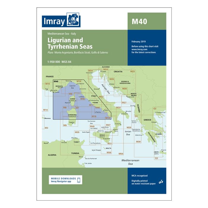
M40 Ligurian and Tyrrhenian Seas
£23.95
In Stock
Usually dispatched within 24 hrs. Free delivery to UK for orders £25 and over
| Cordee Code: | IM0047 |
|---|---|
| Page Size: | 210 x 297 mm |
| No of Pages: | 2 |
| Publisher: | Fb Imray Laurie Norie And Wilson |
| ISBN13: | 9781846236167 |
| Binding: | Sheet Map (folded) |
| Weight: | 140g |
| Product Type: | Map |
| Countries: | Italy |
Plans included:Monte Argentario (1:100 000)Bonifacio Strait (1:225 000)Golfo di Salerno (1:100 000)For this 2014 edition the chart has been fully updated throughout using revised depths where applicable. The full list of recently deployed AIS transmitters are shown across the chart, as is the new marina in Rada di Salerno.