We use cookies to make your experience better. To comply with the new e-Privacy directive, we need to ask for your consent to set the cookies. Learn more
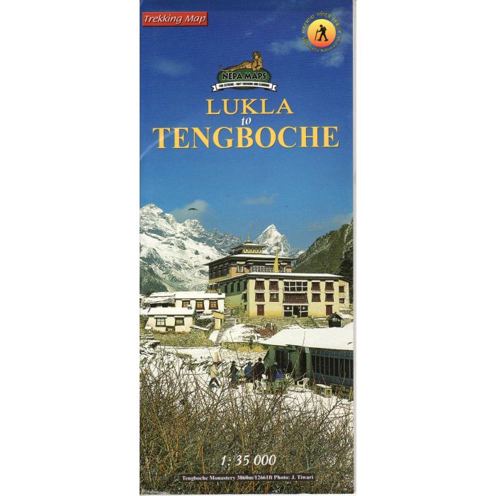
Lukla to Tengboche Everest Region Map
Trekking Map 1:35,000 Nepa Maps
£14.99
In Stock
Usually dispatched within 24 hrs. Free delivery to UK for orders £25 and over
Detailed 1:35,000 trakking map for the area from Lukla to Tengboche in the Everest region of Nepal. Showing the main trekking route and also minor routes and settlements, as well as places of interest and monasteries.
| Cordee Code: | CMW649 |
|---|---|
| Page Size: | 100 x 230 mm |
| Publisher: | Nepa Publications |
| ISBN13: | 9789993323877 |
| Scale: | 1:35,000 |
| Author: | Nepa Maps |
| Peak: | Everest |
| Published Date: | March 2002 |
| Edition: | 03/03/2012 |
| Binding: | Sheet Map (folded) |
| Illustrations: | Colour map |
| Weight: | 60g |
| Geoarea: | Himalayas |
| Product Type: | Map |
| Countries: | Nepal |
Detailed 1:35,000 trakking map for the area from Lukla to Tengboche in the Everest region of Nepal. Showing the main trekking route and also minor routes and settlements, as well as places of interest and monasteries.
Includes a placename index and fullt English key sheet. There is also a brief description of the area and route.
Includes a placename index and fullt English key sheet. There is also a brief description of the area and route.
-

-
 Everest Base Camp 150000Kala Patthar and Gokyo trekking map£11.99
CMW333
Temp Out Of StockOut of stock -