We use cookies to make your experience better. To comply with the new e-Privacy directive, we need to ask for your consent to set the cookies. Learn more

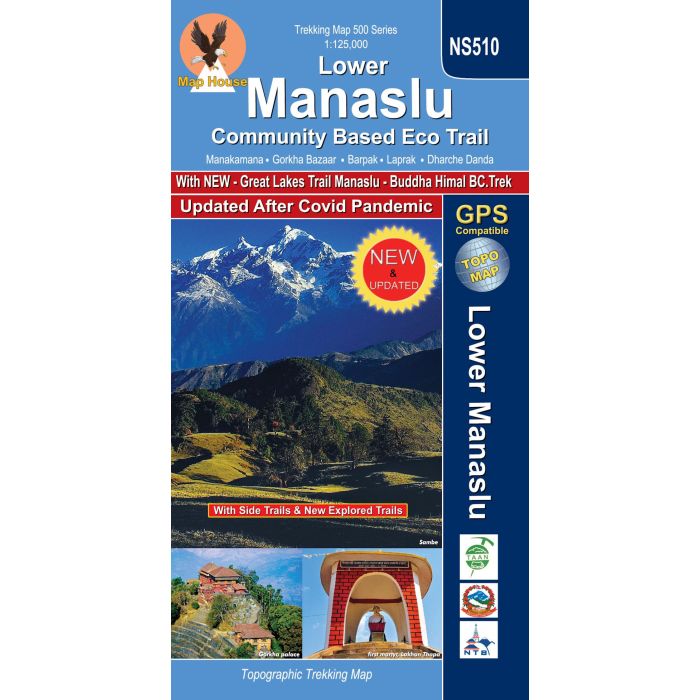
Lower Manaslu NS510
Community Based Eco Trail
£16.99
In Stock
Usually dispatched within 24 hrs. Free delivery to UK for orders £25 and over
| Cordee Code: | CMW798 |
|---|---|
| Page Size: | 140 x 225 mm |
| Publisher: | Nepa Publications |
| ISBN13: | 9789937783378 |
| Scale: | 1:125,000 |
| Author: | Nepa Maps |
| Published Date: | October 2023 |
| Edition: | October 2023 |
| Binding: | Sheet Map (folded) |
| Weight: | 90g |
| Geoarea: | Himalayas |
| Product Type: | Map |
| Countries: | Nepal |
Lower Manaslu Community Based Eco Trail map at 1:125,000, in the Nepa Maps series which provides extensive coverage of trekking areas of Nepal on detailed contoured maps with trekking routes and hiking trails, huts and camp sites, local places of interest and other tourist information.
The map covers the region between the Annapurna Conservation Area and the Langtang National Park including the Manaslu Conservation Area; the Tsum Valley north of Domje is shown as an inset. The Lower Manaslu Community Based Eco Trail including Manakamana, Gorkha, Dharch Danda and Barpak is prominently highlighted. Also marked are several other trails, including the main Manaslu Circuit and the Tsum Valley trek. Contours are at 80 m intervals, with relief shading and vegetation colouring. Index lists places, peaks, passes, lakes and base camps. Margin ticks show latitude and longitude at intervals of 2'30'. Additional information includes a route profile for the Community Trail, plus tables for other routes in the region.
The map covers the region between the Annapurna Conservation Area and the Langtang National Park including the Manaslu Conservation Area; the Tsum Valley north of Domje is shown as an inset. The Lower Manaslu Community Based Eco Trail including Manakamana, Gorkha, Dharch Danda and Barpak is prominently highlighted. Also marked are several other trails, including the main Manaslu Circuit and the Tsum Valley trek. Contours are at 80 m intervals, with relief shading and vegetation colouring. Index lists places, peaks, passes, lakes and base camps. Margin ticks show latitude and longitude at intervals of 2'30'. Additional information includes a route profile for the Community Trail, plus tables for other routes in the region.