We use cookies to make your experience better. To comply with the new e-Privacy directive, we need to ask for your consent to set the cookies. Read our privacy and security policy

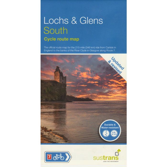
Lochs and Glens South NN7C
Glasgow to Carlisle Cycle Route Map
£10.99
In Stock
Usually dispatched within 24 hrs. Free delivery to UK for orders £25 and over
| Cordee Code: | CCY478 |
|---|---|
| Page Size: | 149 x 250 mm |
| Publisher: | Walk Wheel Cycle Trust |
| ISBN13: | 9781914410529 |
| Scale: | 1:110 000 |
| Published Date: | October 2003 |
| Binding: | Waterproof Map (folded) |
| Illustrations: | colour maps |
| Weight: | 30g |
| Product Type: | Map |
| Countries: | United Kingdom |
NCN Lochs & Glens South
Cycle Route Map
Carlisle - Glasgow via Ayr
The route leaves Glasgow and heads into the rolling hills and pastures of Ayrshire with exciting views towards Arran and the Clyde Coast. The dominant feature of this route is the huge Galloway Forest Park, 300 miles of rivers flow in its valleys and over 150 lochs are to be found amid the wild moorland and mountain crags. Leaving the forest means a descent to the Solway Coast, a haven for bird life and a final leg through Dumfries and Galloway. Also includes link route to Stranraer on National Route 73 and day rides.
Full colour fold-out map, printed on waterproof paper.
Scale 1:110 000. 214 miles long.
Cycle Route Map
Carlisle - Glasgow via Ayr
The route leaves Glasgow and heads into the rolling hills and pastures of Ayrshire with exciting views towards Arran and the Clyde Coast. The dominant feature of this route is the huge Galloway Forest Park, 300 miles of rivers flow in its valleys and over 150 lochs are to be found amid the wild moorland and mountain crags. Leaving the forest means a descent to the Solway Coast, a haven for bird life and a final leg through Dumfries and Galloway. Also includes link route to Stranraer on National Route 73 and day rides.
Full colour fold-out map, printed on waterproof paper.
Scale 1:110 000. 214 miles long.