We use cookies to make your experience better. To comply with the new e-Privacy directive, we need to ask for your consent to set the cookies. Learn more
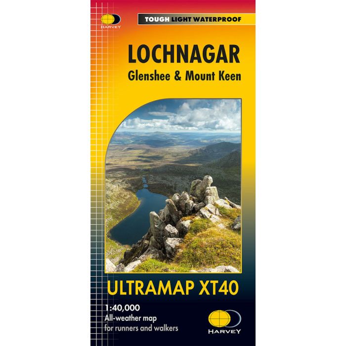
Lochnagar Ultramap XT40
£11.50
In Stock
Usually dispatched within 24 hrs. Free delivery to UK for orders £25 and over
| Cordee Code: | CMH395 |
|---|---|
| Page Size: | 73 x 152 mm |
| No of Pages: | 2 |
| Publisher: | Harvey Maps |
| ISBN13: | 9781851377275 |
| Scale: | 1:40 000 |
| Author: | Harvey Maps |
| Published Date: | December 2024 |
| Binding: | Sheet Map (folded) In Wallet |
| Weight: | 50g |
| Geoarea: | Cairngorms |
| Product Type: | Map |
| Countries: | Scotland |
Covers a large area yet is handily compact. Pocket perfect!
Detailed map for runners and walkers of Lochnagar and the area south of Braemar. Covers Lochnagar itself, with Braemar at the north of the sheet and the Spittal of Glenshee at the south.
The Spittal of Glenmuick, and the popoular Loch Muick, lies to the east.
Scotland's most easterly Munro, Mount Keen, is included as an inset.
Includes 22 Munros, 5 Corbetts and 1 Graham.
Fully detailed genuine HARVEY mapping
Use without a map case: tough and 100% waterproof
Opens directly to either side of the sheet
Scale: 1:40,000
Ratio: 2.5cm = 1km
Flat size: 870 x 304mm
Folded size: 73 x 152mm
Weight: 25gms
Area of mapping: 674sqkm
Double sided