We use cookies to make your experience better. To comply with the new e-Privacy directive, we need to ask for your consent to set the cookies. Read our privacy and security policy

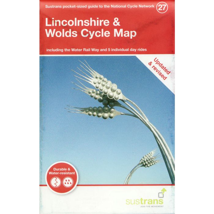
Lincolnshire and the Wolds Cycle Map 27
including the Water Rail Way
£8.70
In Stock
Usually dispatched within 24 hrs. Free delivery to UK for orders £25 and over
| Cordee Code: | CCY444 |
|---|---|
| Page Size: | 100 x 160 mm |
| No of Pages: | 2 |
| Publisher: | Walk Wheel Cycle Trust |
| ISBN13: | 9781914410079 |
| Scale: | 1:110 000 |
| Published Date: | June 2021 |
| Binding: | Sheet Map (folded) |
| Illustrations: | Full colour throughout |
| Weight: | 50g |
| Product Type: | Map |
Lincolnshire's gentle countryside, quiet lanes, network of waterways and market towns make it a rewarding place to cycle. Whether touring the county or looking for a flat family ride, there are numerous great routes to explore: National Route 1 - the North Sea Cycle Route - runs from Boston in the south east, north via Lincoln to the spectacular Humber Bridge.
The section of National Route 1 from Boston to Lincoln known as the Water Rail Way is flat, following the river Witham. The name reflects both the route's railway past and the abundance of birdlife that can be seen from the route, and allows easy access to rural villages and an opportunity to enjoy impressive artwork and sculptures on the way. Further north into the Lincolnshire Wolds the countryside provides a more rolling cycle experience with fantastic views on National Route 1 from Market Rasen to Barton-upon-Humber.
The city of Lincoln's excellent cycle routes make it easy to view the castle and bustle of shops, and its impressive Cathedral overlooking the city. From here National Route 64 heads west following the Fossdyke on a great traffic-free route, before turning south west into Nottinghamshire. Alternatively, continue traffic-free across the Trent via Fledborough Viaduct on National Route 647. Elsewhere, local routes serve Scunthorpe, Sleaford and other market towns. New routes are being developed to increase cycling opportunities along the coast around Skegness and on to Gibraltar Point, Mablethorpe and Cleethorpes.
The section of National Route 1 from Lincoln known as the Water Rail Way is flat, following the river Witham. The name reflects both the route's railway past and the abundance of birdlife that can be seen from the route, and allows easy access to rural villages and an opportunity to enjoy impressive artwork and sculptures on the way.
This pocket-sized colour map shows clearly mapped on-road and traffic-free paths, easy to read contours, and detailed inset maps for the major towns and cities as well as recommended linking routes connecting the NCN with quiet roads. The map also features 5 day rides with directions and a description of the area, highlighting key cycle routes, local history and places of interest.
The section of National Route 1 from Boston to Lincoln known as the Water Rail Way is flat, following the river Witham. The name reflects both the route's railway past and the abundance of birdlife that can be seen from the route, and allows easy access to rural villages and an opportunity to enjoy impressive artwork and sculptures on the way. Further north into the Lincolnshire Wolds the countryside provides a more rolling cycle experience with fantastic views on National Route 1 from Market Rasen to Barton-upon-Humber.
The city of Lincoln's excellent cycle routes make it easy to view the castle and bustle of shops, and its impressive Cathedral overlooking the city. From here National Route 64 heads west following the Fossdyke on a great traffic-free route, before turning south west into Nottinghamshire. Alternatively, continue traffic-free across the Trent via Fledborough Viaduct on National Route 647. Elsewhere, local routes serve Scunthorpe, Sleaford and other market towns. New routes are being developed to increase cycling opportunities along the coast around Skegness and on to Gibraltar Point, Mablethorpe and Cleethorpes.
The section of National Route 1 from Lincoln known as the Water Rail Way is flat, following the river Witham. The name reflects both the route's railway past and the abundance of birdlife that can be seen from the route, and allows easy access to rural villages and an opportunity to enjoy impressive artwork and sculptures on the way.
This pocket-sized colour map shows clearly mapped on-road and traffic-free paths, easy to read contours, and detailed inset maps for the major towns and cities as well as recommended linking routes connecting the NCN with quiet roads. The map also features 5 day rides with directions and a description of the area, highlighting key cycle routes, local history and places of interest.