We use cookies to make your experience better. To comply with the new e-Privacy directive, we need to ask for your consent to set the cookies. Learn more
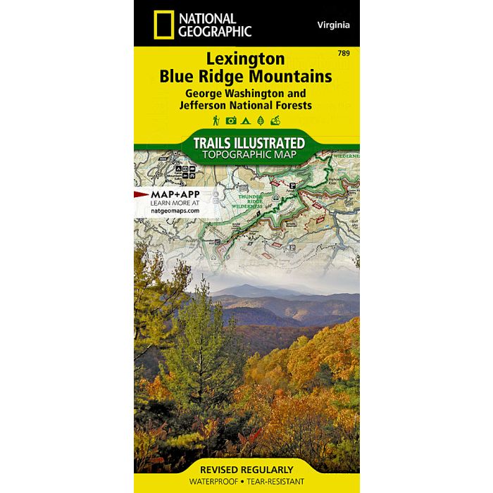
Lexington, Blue Ridge Mts Map
Trails Illustrated Maps
£14.95
In Stock
Usually dispatched within 24 hrs. Free delivery to UK for orders £25 and over
| Cordee Code: | NG0527 |
|---|---|
| Page Size: | 110 x 230 mm |
| Publisher: | National Geographic Maps |
| ISBN13: | 9781566953801 |
| Binding: | Sheet Map (folded) |
| Weight: | 94g |
| Product Type: | Map |
| Countries: | United States of America |
Waterproof Tear-Resistant Topographic MapOutdoor enthusiasts seeking to enjoy the endless recreational opportunities in the mountains of Virginia will find National Geographic's Trails Illustrated map of Lexington and Blue Ridge Mountains a comprehensive guide to the region. Expertly researched and created in cooperation with the National Park Service, U.S. Forest Service and others, the map covers the area around the eastern part of George Washington and Jefferson National Forests from Waynesboro in the northeast to the outskirts of Roanoke in the southwest. It provides unmatched detail of the such popular recreation areas as Saint Mary's, The Priest, Three Ridges, Thunder Ridge and James River Face Wilderness Areas, Mount Pleasant National Scenic Area, Peaks of Otter and James River. The Blue Ridge Parkway, known for its stunning scenery, is shown with mileage markers, roadside pullouts and parking areas.Use the maps activity and trail guides to help you find a suitable area for exploration, according to your interests and activity level. Each trail is listed with its location, mileage, difficulty rating, blaze color and permitted usage. Trails appear color-coded on the map according to designated use, whether hiking, mountain biking, horseback riding or ATVing. The Appalachian Trail that highlights the area is marked along with its scenic overlooks and backcountry shelters. Other recreation features and facilities pinpointed on the map include campgrounds, alpine skiing areas, fishing and swimming holes, river access points, picnic areas and restrooms.Every Trails Illustrated map is printed on "Backcountry Tough" waterproof, tear-resistant paper. A full UTM grid is printed on the map to aid with GPS navigation.Other features found on this map include: Blue Ridge, George Washington National Forest, Horseshoe Mountain, James River Face Wilderness, Jefferson National Forest, Peaks of Otter, Saint Mary's Wilderness.