We use cookies to make your experience better. To comply with the new e-Privacy directive, we need to ask for your consent to set the cookies. Learn more

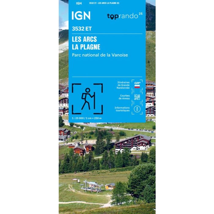
Les Arc La Plagne 3532 ET
1:25,000
£15.80
In Stock
Usually dispatched within 24 hrs. Free delivery to UK for orders £25 and over
The essential IGN 3532ET hiking map.
| Cordee Code: | CMF770 |
|---|---|
| Page Size: | 110 x 240 mm |
| No of Pages: | 1 |
| Publisher: | Ign Top 25 Maps |
| ISBN13: | 9782758557623 |
| Scale: | 1:25,000 |
| Published Date: | February 2026 |
| Edition: | 6th Ed, Feb 2026 |
| Binding: | Sheet Map (folded) |
| Weight: | 80g |
| Product Type: | Map |
| Countries: | France |
Extremely precise, it contains every detail found on the ground: roads down to the smallest footpath, buildings down to the smallest shed, woods, individual trees, rivers, springs... It also includes contour lines to represent the terrain. Marked trails and tourist information are also shown. Municipalities covered: Les Chapelles, Bourg-Saint-Maurice, Landry, Montvalezan, Villaroger, Sainte-Foy-Tarentaise, Tignes, La Plagne Tarentaise. Places to discover: Rutor Glacier, Chevril Lake, Invernet Glacier, Sassiere Lake, Sassiere Glacier, Punta Bassac Sud, La Tsanteleina, Pointe des Mines, Punta Bassac Nord, Testa del Rutor, Dome de la Sache, Pointe de la Traversiere, Pointe d'Archeboc, Mont Pourri, Rochers Rouges, Col du Mont, Roche de Mio, Sommet de Bellecote, Grande Traversiere.