We use cookies to make your experience better. To comply with the new e-Privacy directive, we need to ask for your consent to set the cookies. Learn more
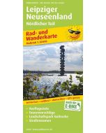
Leipziger New Lake District 1:50 000
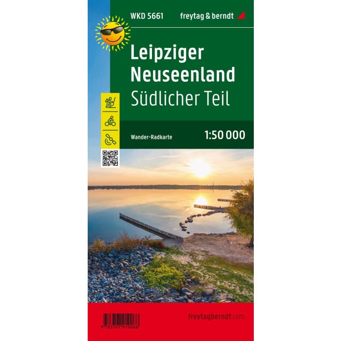
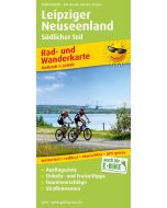
Southern Part WKD5661
£8.90
In Stock
Usually dispatched within 24 hrs. Free delivery to UK for orders £25 and over
| Cordee Code: | FB0919 |
|---|---|
| Page Size: | 100 x 205 mm |
| Publisher: | Freytag & Berndt |
| ISBN13: | 9783707919066 |
| Scale: | 1:50 000 |
| Published Date: | February 2022 |
| Binding: | Sheet Map (folded) |
| Weight: | 25g |
| Product Type: | Map |
| Countries: | Germany |
In the north-west of Saxony, one of the largest water areas in Germany emerged from the former lignite area. In the southern Leipzig Neuseenland, young and old will find a wide range of active and trend sports.
The Leipziger Neuseenland hiking map provides detailed information about the various hiking and cycling trails in the region. With the hiking and cycling map, you can ideally plan your tours and find out about sights and vantage points along the way.
On the back there are information texts about cycling and hiking trails as well as numerous tips for excursions.
Information on the hiking and cycling map of the Leipzig Neuseenland - southern part
Scale 1:50 000
hiking trails
bike lanes
Tourist information
GPX-Tracks zum Download
Waterproof and tear resistant
99 x 61 cm
Tourist information
The Leipziger Neuseenland offers numerous sights that you should not miss. For example, visit the Cospudener See , one of the largest lakes in the region, and enjoy the crystal-clear water and the beautiful sandy beach. Or take a boat trip on the St?rmthaler See and admire the landscape from the water. Numerous nature trails as well as forest and water playgrounds offer a variety of recreation for families. Romantic carriage tours offer varied hours in nature, castles, palaces, manor houses and churches tell of the cultural taste of past centuries.
Waterproof and tear-resistant
The hiking map is printed on a special waterproof and durable paper so that it can also be used for orientation on rainy days.
Manufactured in a way that conserves resources
The map consists of 80% ground limestone. The production is much more resource-saving than with conventional paper because the consumption of water, wood and energy is significantly lower.
Printed in Austria.
-
 Visit The City - Leipzig (3 Days In)Make the most of your time£9.00
CTA909
Temp Out Of StockOut of stock -
-