We use cookies to make your experience better. To comply with the new e-Privacy directive, we need to ask for your consent to set the cookies. Learn more
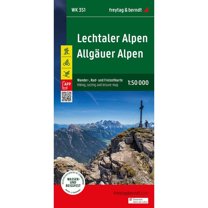
Lechtaler Alpen, Allgauer Alpen Hiking, cycling, Leisure Map
1:50.000
£12.90
In Stock
Usually dispatched within 24 hrs. Free delivery to UK for orders £25 and over
| Cordee Code: | FB1621 |
|---|---|
| Publisher: | Freytag & Berndt |
| ISBN13: | 9783707923438 |
| Scale: | 1:50 000 |
| Published Date: | May 2024 |
| Edition: | 2024 |
| Binding: | Sheet Map (folded) |
| Weight: | 105g |
| Product Type: | Map |
| Countries: | Germany |
Thanks to the detailed digital cartography and precise scales, freytag & berndt hiking maps are ideal companions for hiking, mountaineering and ski tours. The "WK 351 Lechtal Alps - Allg?u Alps, hiking map 1:50,000" is regularly revised and contains updated information on hiking trails, cycling and mountain bike routes, huts, natural monuments, cultural sights and leisure facilities. The enclosed information booklet contains a selection of the best hiking trails, cycle paths and mountain bike routes as well as a brief description of the individual communities and their leisure activities. (Language: German) Leisure information, hiking and long-distance hiking trails, mountain bike and cycling tours, location register with postal codes, GPS compatible, via ferrata, ski route, cross-country ski route, Nordic walking route; Region: Lechtal Alps, Lechtal, Oberinntal, Tyrol, Allg?u Alps, Allg?u, Oberallg?u, Germany; Long-distance hiking trails and special themed hiking trails: E4, E5, Nordalpenweg, Jakobsweg, Adlerweg, Via Alpina, Lechweg, Via Claudia Augusta, Holzgau-Steeg circular hike, Memminger H?tte, Parseierspitze; Special cycle and mountain bike tours: Inn cycle path (Inntal cycle path), Lech cycle path, Bike Trail Tirol, Via Claudia Augusta cycle route, Stanzertal cycle path, Falterschein circuit, Martinau high-altitude circular route; Environment maps: WK 251, WK 254, WK 352, WK 364, WK 374;