We use cookies to make your experience better. To comply with the new e-Privacy directive, we need to ask for your consent to set the cookies. Read our privacy and security policy

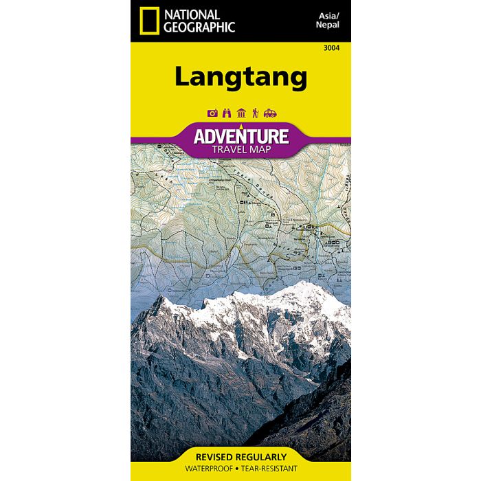
Langtang Map Nepal
Adventure Maps
£14.95
In Stock
Usually dispatched within 24 hrs. Free delivery to UK for orders £25 and over
| Cordee Code: | NG0005 |
|---|---|
| Page Size: | 110 x 230 mm |
| Publisher: | National Geographic Maps |
| ISBN13: | 9781566955225 |
| Binding: | Sheet Map (folded) |
| Weight: | 100g |
| Product Type: | Map |
| Countries: | Nepal |
Waterproof Tear-Resistant Travel MapTrekking, climbing, and whitewater rafting are just some of the activities adventurers can enjoy in Langtang National Park. National Geographic's Adventure Map of Langtang is an invaluable tool for travelers seeking to explore this remarkable region as well as the rest of Nepal. Cities and towns are clearly indicated and easy to find in the user-friendly index. A road network complete with major and minor roads will help you find the route that's right for you. With specialty content to include diverse and unique recreational, ecological, cultural, and historical destinations, this map is a perfect companion to a guidebook.A detailed map of Nepal is shown on one side of the map, as well as maps of Kathmandu and its commercial neighborhood of Thamel. The reverse side features a topographic and trekking map the Langtang region. Helpful travel aids such as visitor centers, checkpoints, health posts, lodging, religious sites, settlements, and post offices are clearly indicated. In addition to restaurants, lodging, and shopping areas, a variety of resources are indicated on the inset maps as well including embassies/consulates, international organizations, places of worship, banks, police stations, bus stops, and more. Every Adventure Map is printed on durable synthetic paper, making them waterproof, tear-resistant and tough capable of withstanding the rigors of international travel.


