We use cookies to make your experience better. To comply with the new e-Privacy directive, we need to ask for your consent to set the cookies. Read our privacy and security policy

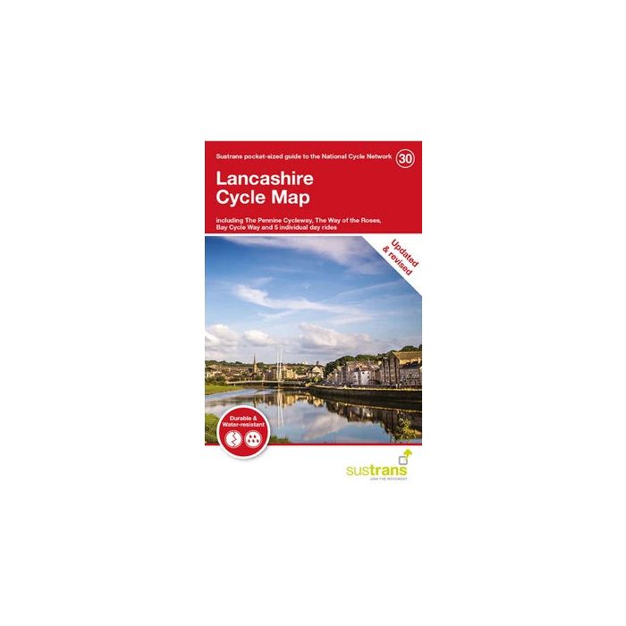
Lancashire Cycle Map 30
incl The Pennine Cycleway, The Way of the Roses...
£8.70
In Stock
Usually dispatched within 24 hrs. Free delivery to UK for orders £25 and over
| Cordee Code: | CCY452 |
|---|---|
| Page Size: | 100 x 160 mm |
| No of Pages: | 2 |
| Publisher: | Walk Wheel Cycle Trust |
| ISBN13: | 9781914410161 |
| Scale: | 1:110 000 |
| Published Date: | August 2021 |
| Binding: | Sheet Map (folded) |
| Illustrations: | Full colour throughout |
| Weight: | 50g |
| Product Type: | Map |
Sustrans' Lancashire cycle map shows the National Cycle Network and local routes in this area. It covers the Lancashire area of the north west region of England including Preston, Rochdale, Lancaster, Burnley and Colne.
The National Cycle Network and cycle tracks in Lancashire
A quick glance at the contour shading and it is apparent that this is a map of contrasts - the lowlands of the Fylde coastal plain behind Blackpool and Fleetwood compared to the Bowland Hills rising to the east. Further south are the Lancashire valleys and cotton towns of the industrial revolution, while Lancaster and Morecambe combine a mix of college and coastal resort.
This pocket-sized colour map shows clearly mapped on-road and traffic-free paths, easy to read contours, and detailed inset maps for the major towns and cities as well as recommended linking routes connecting the NCN with quiet roads. The map also features 5 day rides with directions and a description of the area, highlighting key cycle routes, local history and places of interest.
The National Cycle Network and cycle tracks in Lancashire
A quick glance at the contour shading and it is apparent that this is a map of contrasts - the lowlands of the Fylde coastal plain behind Blackpool and Fleetwood compared to the Bowland Hills rising to the east. Further south are the Lancashire valleys and cotton towns of the industrial revolution, while Lancaster and Morecambe combine a mix of college and coastal resort.
This pocket-sized colour map shows clearly mapped on-road and traffic-free paths, easy to read contours, and detailed inset maps for the major towns and cities as well as recommended linking routes connecting the NCN with quiet roads. The map also features 5 day rides with directions and a description of the area, highlighting key cycle routes, local history and places of interest.