We use cookies to make your experience better. To comply with the new e-Privacy directive, we need to ask for your consent to set the cookies. Learn more
Lake District South East XT25
Superwalker 1:25,000
£15.50
In Stock
Usually dispatched within 24 hrs. Free delivery to UK for orders £25 and over
| Cordee Code: | CMH232 |
|---|---|
| Page Size: | 150 x 245 mm |
| Publisher: | Harvey Maps |
| ISBN13: | 9781851375486 |
| Published Date: | March 2015 |
| Edition: | March 2015 |
| Binding: | Sheet Map (folded) In Wallet |
| Weight: | 100g |
| Geoarea: | Lake District |
| Product Type: | Map |
| Countries: | United Kingdom |
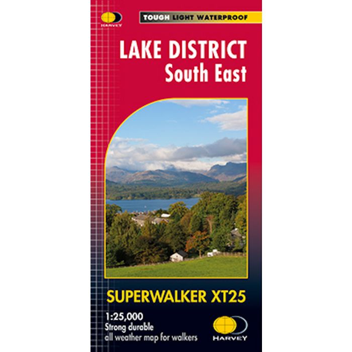
HARVEY Superwalker XT25 map at 1:25,000 scale detailed map of the south eastern Lake District for walking, cycling, scrambling and climbing.
Improved and extended coverage. This map for hillwalkers covers Kendal, Windermere and Ambleside.
Includes Grizedale Forest, Coniston Water and Tebay to the east.
Lake Windermere is in the centre, with Kendal on the east and Coniston on the west. Grizedale forest (a superb mountain biking area) and Newby Bridge are also included.