We use cookies to make your experience better. To comply with the new e-Privacy directive, we need to ask for your consent to set the cookies. Learn more
La Palma Tour and Trail POLYMER Map 1:40,000
Waterproof Polymer map
£8.99
Temp Out Of Stock
| Cordee Code: | CMM204 |
|---|---|
| Page Size: | 120 x 225 mm |
| Publisher: | Discovery Tour And Trail |
| ISBN13: | 9781782750444 |
| Scale: | 1:40,000 |
| Published Date: | September 2017 |
| Edition: | 6th edition, 2017 |
| Binding: | Sheet Map (folded) |
| Weight: | 40g |
| Product Type: | Map |
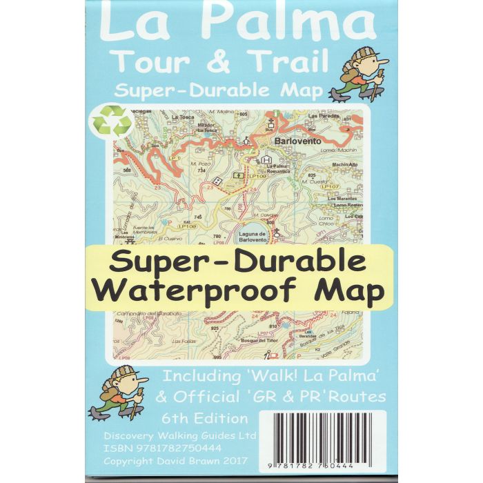
2017 6th Edition of the La Palma Tour & Trail Super-Durable Map.
Large 1:40,000 scale, combined with splitting the island into a North (Landscape view) and South (Portrait view) with a generous overlap, produces double sided map whose total size is 840mm by 600mm and folds to 235mm by 120mm.
You get the most detailed map of La Palma that is produced including the 'Tour & Trail' level of detail ranging from major roads to secondary roads to minor roads to streets and camino rural narrow country roads, plus dirt roads and walking trails. Altitude background colouring is designed to clearly show the altitude range when travelling across the island by car or on foot. 100 metre and 50 metre contours are clearly shown on the map along with a large number of individual height points and all of the official 'Trig' points.
Tour & Trail attention to detail is legendary as is the useful symbol range including miradors, picnic areas, petrol stations, bar/restaurants and parking areas where you can pull off the road safely. You will easily identify springs, caves, sports grounds, cemeterys, churchs, chapels, lighthouses, towers and forts, camping areas, wind turbines, hotels etc. For adventurers on foot Tour & Trail Maps are researched and designed by hikers for use by hikers.