We use cookies to make your experience better. To comply with the new e-Privacy directive, we need to ask for your consent to set the cookies. Learn more

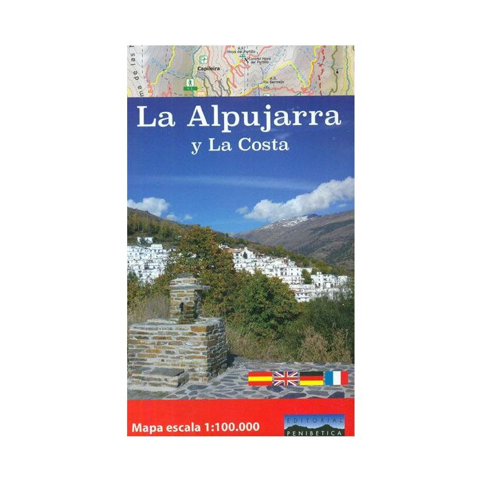
La Alpujarra and La Costa 1:100,000 Map and Guide
£9.99
Temp Out Of Stock
| Cordee Code: | CMM276 |
|---|---|
| Page Size: | 125 x 215 mm |
| No of Pages: | 2 |
| Publisher: | Editorial Penibetica |
| ISBN13: | 9788494365263 |
| Binding: | Sheet Map (folded) |
| Weight: | 50g |
| Product Type: | Map |
| Countries: | Spain |
The Alpujarra region of Andaluc?a on an indexed, contoured map at 1:100,000 from Editorial Penibetica, extending from the coast between Motril and Roquetas de Mar across southern slopes of the Sierra Nevada to its peaks including Mulhac?n. On the reverse are multilingual descriptions and photos of various places of interest. Coverage extends along the coast from just west of Motril, past Roquetas de Mar, to Castell del Rey near Almer?a, and inland to the Puerto de la Ragua pass to include Mulhac?n and the highest peaks of the Sierra Nevada. Topography of this mountainous region is shown by contours at 100m intervals, relief shading and altitude colouring, with names of peaks, valleys, etc, and boundaries of protected areas. Road network includes small local roads and indicates locations of petrol stations. The map highlights the course of the GR7 and other long-distance routes, and indicates sites with the shorter PR and SL trails. Icons show campsites and mountain refuges, sites for recreational activities such as climbing, canyoning, kayaking, etc. The map is indexed but has no geographical coordinates. On the reverse are notes about the region and its sights, illustrated with colour photos. Map legend and all the text include English.