We use cookies to make your experience better. To comply with the new e-Privacy directive, we need to ask for your consent to set the cookies. Learn more
Kythnos 1044
1:31,000 hiking map
£7.50
In Stock
Usually dispatched within 24 hrs. Free delivery to UK for orders £25 and over
| Cordee Code: | CMG198 |
|---|---|
| Page Size: | 130 x 240 mm |
| No of Pages: | 1 |
| Publisher: | Anavasi |
| ISBN13: | 9789609412414 |
| Scale: | 1:31,000 |
| Author: | Anavasi |
| Published Date: | April 2015 |
| Edition: | 2015 |
| Binding: | Sheet Map (folded) |
| Weight: | 50g |
| Product Type: | Map |
| Countries: | Greece |
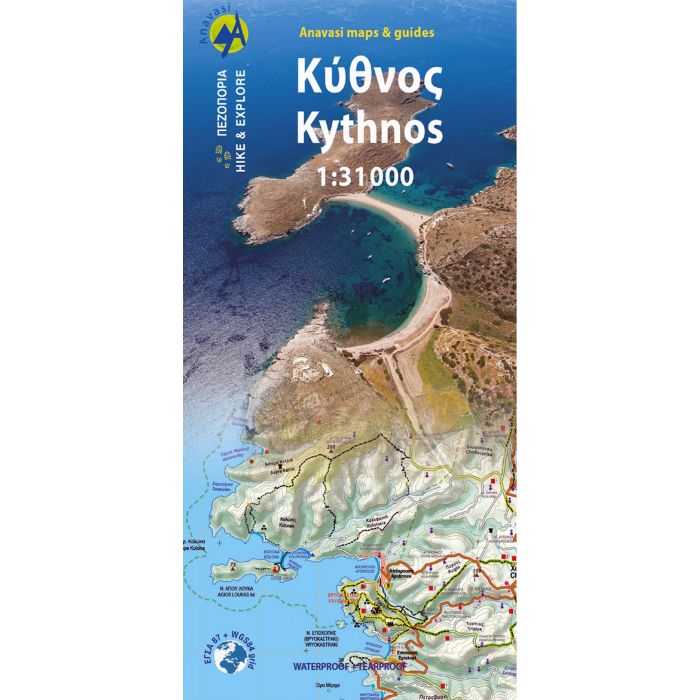
Kythnos, the second in the series of the islands of the western Cyclades, after Kea, has two charming settlements, Hora and Dryopida, wonderful beaches and a well preserved network of trails, whose maintenance and waymarking has started.
This detailed map from Anavasi depicts as always with precision and detail roads and trails, while professor of archeology Alexander Mazarakis Ainian and the great connoisseur of the island Adonis Kyrou, have put the finishing touch to the map recording unknown ancient towers and mining facilities.
This detailed map from Anavasi depicts as always with precision and detail roads and trails, while professor of archeology Alexander Mazarakis Ainian and the great connoisseur of the island Adonis Kyrou, have put the finishing touch to the map recording unknown ancient towers and mining facilities.