We use cookies to make your experience better. To comply with the new e-Privacy directive, we need to ask for your consent to set the cookies. Learn more

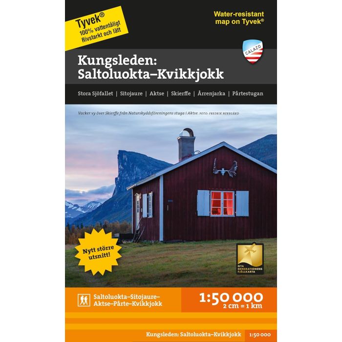
Kungsleden: Saltoluokta Kvikkjokk 1:50000 70x100
£14.99
In Stock
Usually dispatched within 24 hrs. Free delivery to UK for orders £25 and over
| Cordee Code: | CMV340 |
|---|---|
| Page Size: | 123 x 210 mm |
| No of Pages: | 2 |
| Publisher: | Calazo Forlag Ab |
| ISBN13: | 9789189880139 |
| Binding: | Sheet Map (folded) |
| Weight: | 60g |
| Product Type: | Map |
| Countries: | Sweden |
Calazo has developed five maps on a scale of 1:50,000 with a unique level of detail that covers the entire stretch of the King's Trail from Abisko in the north to Hemavan in the south.
This map covers the King's Trail's route between Saltoluokta mountain station and Kvikkjokk. If you are going to continue hiking south towards Jakkvik and Adolfstrom, you can supplement with the map Kungsleden: Kvikkjokk-Adolfstrom 1:50,000.
This map is one of the maps called the new generation mountain map. This means a level of detail that is not found in other maps of the same area. The terrain information is based on airborne laser scanning. In addition to completely new contours with equidistance of 20 metres, watercourses and steep slopes appear in a significantly better way than before. The trails are reproduced with greater accuracy, as are marshes, buildings, rocky ground and difficult vegetation.
Calazo's maps are printed on the material Tyvek. Tyvek is synthetic fiber that makes the map completely insensitive to water and very tear-resistant. A tyvek map does not break in the creases or lose its color when you use it.