We use cookies to make your experience better. To comply with the new e-Privacy directive, we need to ask for your consent to set the cookies. Read our privacy and security policy

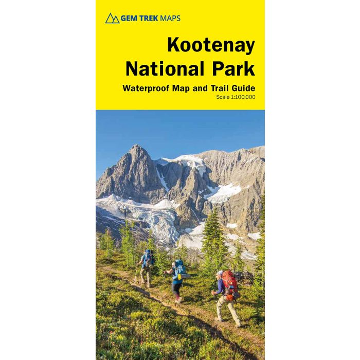
Kootenay National Park map and guide 1:100,000
includes Invermere and Radium
£12.99
In Stock
Usually dispatched within 24 hrs. Free delivery to UK for orders £25 and over
| Cordee Code: | CMW765 |
|---|---|
| Page Size: | 270 x 390 mm |
| Publisher: | Gem Trek |
| ISBN13: | 9781990161025 |
| Published Date: | July 2022 |
| Edition: | 6th ed, July 2022 |
| Binding: | Map And Guide |
| Weight: | 100g |
| Product Type: | Map and Guide |
| Countries: | Canada |
Waterproof and tear-resistant hiking and recreation map for Kootenay National Park in the Canadian Rockies
Gem Trek's 1:100,000 Kootenay National Park Map is designed for hikers and outdoor enthusiasts looking to explore the least visited of the four contiguous national parks of the Canadian Rockies. Whether you are touring along the roads or heading into the backcountry, you'll find the waterproof and tear-resistant Kootenay National Park Map to be an invaluable tool.
This map features detailed cartography, accurate hiking trails with distances, and details such as logging roads, campgrounds, equestrian routes, picnic areas, and fire lookouts. On the back are descriptions of the most popular hiking trails, as well details of services such as campgrounds and visitor centres.
Map Coverage
The Kootenay National Park Map covers Kootenay National Park in one sheet. This park lies on the west side of the Continental Divide in British Columbia, immediately west of Banff National Park. The map follows Highway 93 from Castle Junction in Banff National Park to Invermere in the Columbia Valley. It also includes the western side of Mount Assiniboine Provincial Park and the wilderness west and south of Radium Hot Springs.
Popular hiking trails on the Kootenay National Park Map include Boom Lake, Twin and Arnica Lakes, Stanley Glacier, Marble Canyon, Paint Pots, Hawk Creek, Kindersley Pass-Sinclair Creek, plus Floe Lake and the entire classic overnight Rockwall Trail.
An inset map on the back increases coverage of Radium Hot Springs, a small town on the western edge of the park that is linked by walking trail to attractions like it's namesake hot springs and Sinclair Canyon.
Map Features
The Kootenay National Park Map features:
- waterproof and tear-resistant paper
- contour lines at 100-metre (330-foot) intervals
- relief shading to better show the topography
- full colour on both sides
- hiking trails with trail names and trail distances marked
- mountain biking and equestrian trails with trail names and distances marked
- hydrology rivers, rapids and waterfalls
- mountain names and all available mountain elevations
- all campgrounds with a handy chart showing campground details
- points of interest and attractions as well as picnic areas and highway viewpoints
Gem Trek's 1:100,000 Kootenay National Park Map is designed for hikers and outdoor enthusiasts looking to explore the least visited of the four contiguous national parks of the Canadian Rockies. Whether you are touring along the roads or heading into the backcountry, you'll find the waterproof and tear-resistant Kootenay National Park Map to be an invaluable tool.
This map features detailed cartography, accurate hiking trails with distances, and details such as logging roads, campgrounds, equestrian routes, picnic areas, and fire lookouts. On the back are descriptions of the most popular hiking trails, as well details of services such as campgrounds and visitor centres.
Map Coverage
The Kootenay National Park Map covers Kootenay National Park in one sheet. This park lies on the west side of the Continental Divide in British Columbia, immediately west of Banff National Park. The map follows Highway 93 from Castle Junction in Banff National Park to Invermere in the Columbia Valley. It also includes the western side of Mount Assiniboine Provincial Park and the wilderness west and south of Radium Hot Springs.
Popular hiking trails on the Kootenay National Park Map include Boom Lake, Twin and Arnica Lakes, Stanley Glacier, Marble Canyon, Paint Pots, Hawk Creek, Kindersley Pass-Sinclair Creek, plus Floe Lake and the entire classic overnight Rockwall Trail.
An inset map on the back increases coverage of Radium Hot Springs, a small town on the western edge of the park that is linked by walking trail to attractions like it's namesake hot springs and Sinclair Canyon.
Map Features
The Kootenay National Park Map features:
- waterproof and tear-resistant paper
- contour lines at 100-metre (330-foot) intervals
- relief shading to better show the topography
- full colour on both sides
- hiking trails with trail names and trail distances marked
- mountain biking and equestrian trails with trail names and distances marked
- hydrology rivers, rapids and waterfalls
- mountain names and all available mountain elevations
- all campgrounds with a handy chart showing campground details
- points of interest and attractions as well as picnic areas and highway viewpoints


