We use cookies to make your experience better. To comply with the new e-Privacy directive, we need to ask for your consent to set the cookies. Read our privacy and security policy

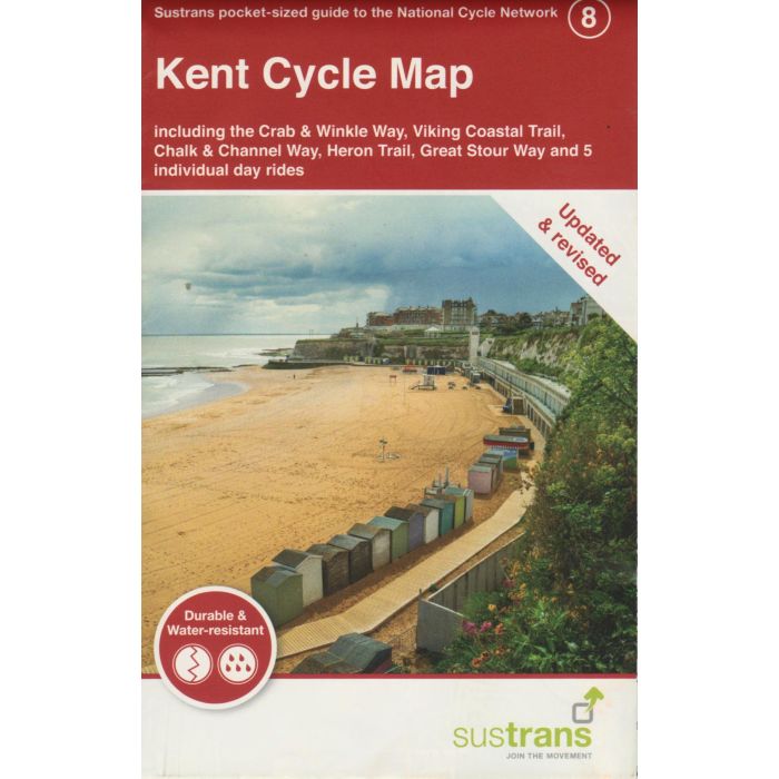
Kent Cycle Map 8
incl The Crab & Winkle Way, Viking Coastal Trail...
£8.70
In Stock
Usually dispatched within 24 hrs. Free delivery to UK for orders £25 and over
| Cordee Code: | CCY425 |
|---|---|
| Page Size: | 100 x 160 mm |
| No of Pages: | 2 |
| Publisher: | Walk Wheel Cycle Trust |
| ISBN13: | 9781914410642 |
| Scale: | 1:110 000 |
| Published Date: | August 2024 |
| Binding: | Sheet Map (folded) |
| Illustrations: | Full colour mapping |
| Weight: | 50g |
| Product Type: | Map |
Sustrans' Kent cycle map shows the National Cycle Network and local routes in this area. It covers the Kent area of the South East region of England, including Ramsgate, Margate, Hastings, Dover, Canterbury and Royal Tunbridge Wells.
About the Kent cycle map
Cycling on Kent?s byways is a picture of tranquillity. There's a great coastline, lots of historic sites and beautiful marsh landscapes as well as the North Downs and the Wealden Area of Outstanding Natural Beauty.
Many of the best rides in Kent follow the National Cycle Network. The route of the former Pilgrims, for example, runs from Rochester to the cathedral city of Canterbury ? the 45-mile route is roughly half on-road and half traffic-free. Fully traffic-free is the Crab and Winkle Way from Canterbury to Whitstable.
About the Kent cycle map
Cycling on Kent?s byways is a picture of tranquillity. There's a great coastline, lots of historic sites and beautiful marsh landscapes as well as the North Downs and the Wealden Area of Outstanding Natural Beauty.
Many of the best rides in Kent follow the National Cycle Network. The route of the former Pilgrims, for example, runs from Rochester to the cathedral city of Canterbury ? the 45-mile route is roughly half on-road and half traffic-free. Fully traffic-free is the Crab and Winkle Way from Canterbury to Whitstable.