We use cookies to make your experience better. To comply with the new e-Privacy directive, we need to ask for your consent to set the cookies. Read our privacy and security policy

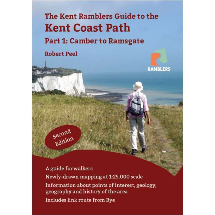
Kent Coastal Path
Part 1: Camber to Ramsgate
£9.00
Not Yet Published
This title has not yet been released. You may pre-order now and we will deliver it to you when it arrives.
Contact [email protected]
Contact [email protected]
Expected: 31st October 2026
| Cordee Code: | CWS709 |
|---|---|
| Page Size: | 147 x 210 mm |
| No of Pages: | 80 |
| Publisher: | Kent Ramblers |
| ISBN13: | 9781906494889 |
| Author: | Robert Peel |
| Published Date: | October 2026 |
| Edition: | 2nd, 2026 |
| Binding: | Paperback |
| Illustrations: | Colour photos and 1:25 000 scale maps |
| Product Type: | Guide Books |
This book describes the route of the first section of the King Charles III England Coast Path in Kent (plus a few miles in Sussex and a link route from Rye). Running 66 miles from Camber to Ramsgate, it was opened in July 2016 after much campaigning and work by the Ramblers and
others, both nationally and locally.
As well as a detailed description of the route and full colour mapping at 1:25,000 scale, the book includes information about the many points of interest and much background material about the history and geography of the Kent coast.
Kent's coastline is probably more varied than that of any other county in the Kingdom, including the unique shingle habitat of Dungeness, the sand dunes north of Deal, the busy docks at Dover and of course the famous white cliffs. Along the way you will see the sheep of Romney
Marsh, fine views of France, golf courses galore and the Royal Military Canal. Historical sites abound from Roman forts and villas through castles from many periods to the Battle of Britain memorial with its recently opened visitor centre. The area is also a permanent or temporary home to much wildlife, especially seabirds, the route passing through two National Nature Reserves and close to a third.
others, both nationally and locally.
As well as a detailed description of the route and full colour mapping at 1:25,000 scale, the book includes information about the many points of interest and much background material about the history and geography of the Kent coast.
Kent's coastline is probably more varied than that of any other county in the Kingdom, including the unique shingle habitat of Dungeness, the sand dunes north of Deal, the busy docks at Dover and of course the famous white cliffs. Along the way you will see the sheep of Romney
Marsh, fine views of France, golf courses galore and the Royal Military Canal. Historical sites abound from Roman forts and villas through castles from many periods to the Battle of Britain memorial with its recently opened visitor centre. The area is also a permanent or temporary home to much wildlife, especially seabirds, the route passing through two National Nature Reserves and close to a third.
