We use cookies to make your experience better. To comply with the new e-Privacy directive, we need to ask for your consent to set the cookies. Read our privacy and security policy

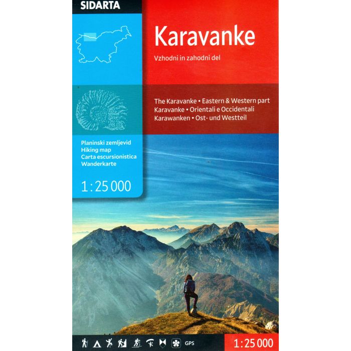
Karavanke Hiking Map 1:50,000
Slovenia
£9.99
In Stock
Usually dispatched within 24 hrs. Free delivery to UK for orders £25 and over
| Cordee Code: | CMY152 |
|---|---|
| Page Size: | 130 x 215 mm |
| Publisher: | Sidarta D.o.o. |
| ISBN13: | 3830008641069 |
| Scale: | 1:25 000 |
| Published Date: | May 2026 |
| Edition: | 1st: May 2026 |
| Binding: | Sheet Map (folded) In Wallet |
| Weight: | 150g |
| Product Type: | Map |
| Countries: | Slovenia |
The map covers the Karavanke area from Kepa to end of Kosuta ridge. Beside the waymarked paths, unmarked trails and ski tours the map includes also: sports climbing areas, natural and cultural points of interest and paragliding take-off sites. GPS, WGS 84.


