We use cookies to make your experience better. To comply with the new e-Privacy directive, we need to ask for your consent to set the cookies. Learn more
Kansas Recreation Map
£8.99
In Stock
Usually dispatched within 24 hrs. Free delivery to UK for orders £25 and over
| Cordee Code: | CMA523 |
|---|---|
| Page Size: | 100 x 230 mm |
| Publisher: | Benchmark Maps |
| ISBN13: | 9780783499147 |
| Scale: | 1:633,600 |
| Binding: | Sheet Map (folded) |
| Weight: | 40g |
| Product Type: | Map |
| Countries: | United States of America |
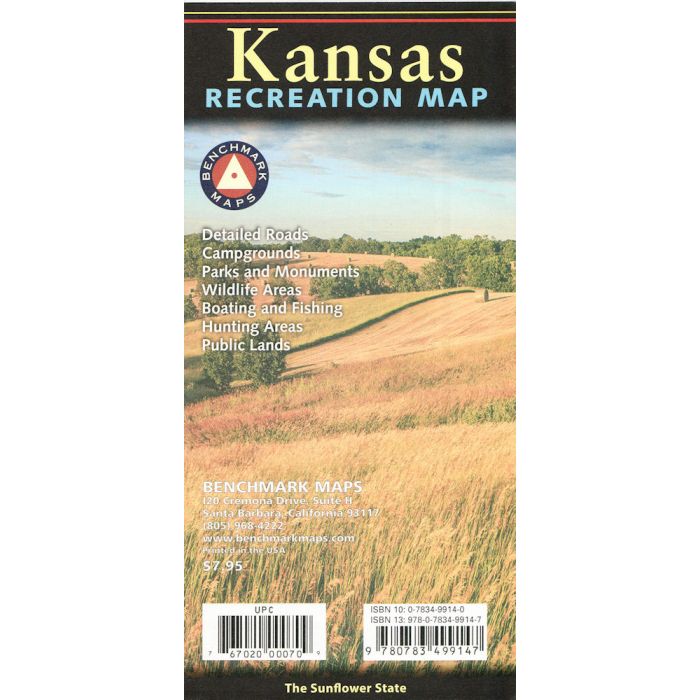
The Kansas Recreation Map is the first map product to show the real richness of recreation potential in The Sunflower State. One side provides a full state map that features Public Lands, extensive highway detail, point-to-point mileages, recreation attractions, campgrounds, parks & wildlife areas, boating & fishing access points, and public hunting areas. The reverse side features categorized recreation listings with helpful descriptions, current contact information, and map grid references.